- Ajouter aux favoris
Description
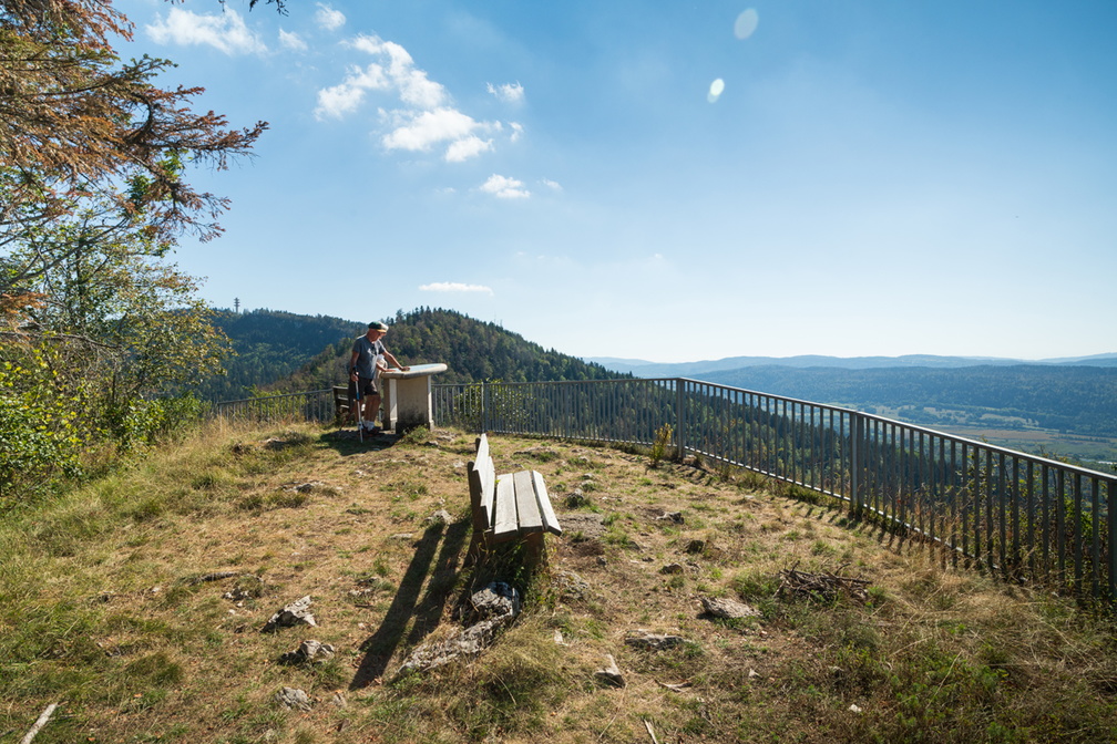
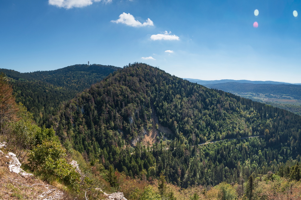
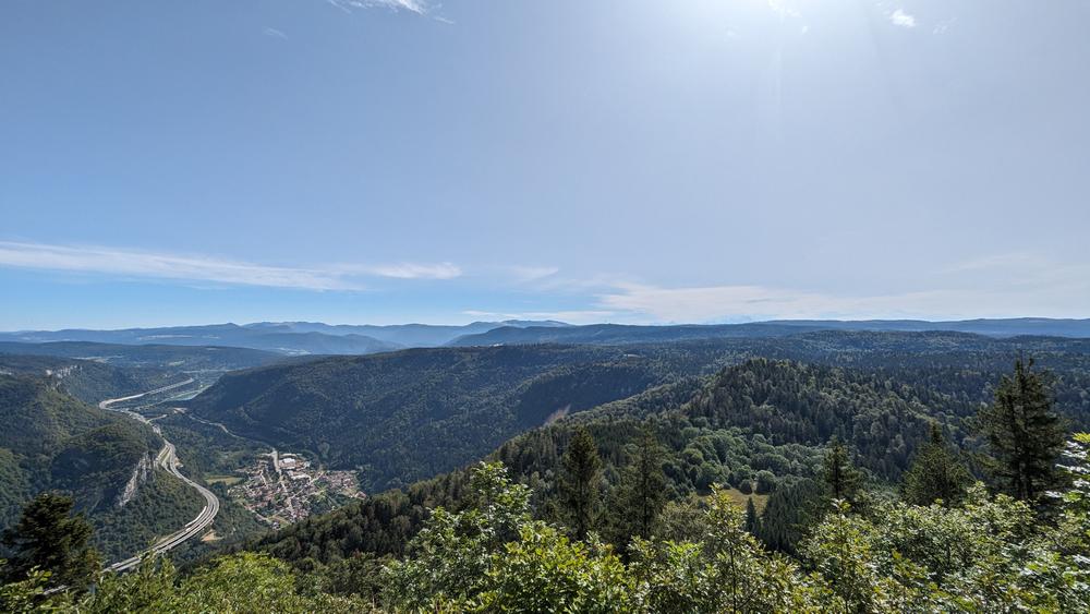
Accessible via the drivable track linking the Terre Ronde and La Praille sites, the lookout is reached after a short 400-metre walk. The orientation table helps visitors read the landscape and points out other viewpoints, such as Planachat, marked by the large telecommunications tower visible to the south-east.
At dawn and dusk, and with the utmost discretion, chamois living in the area can sometimes be spotted below the lookout.
Extend the walk:
By retracing your steps, a path descends to the right and leads to the 12th-century Mazières chapel. This peaceful spot, equipped with stone tables and benches, is an ideal place to enjoy a picnic.
Categories
- Viewpoint
Welcoming of pets
- Pets accepted
Openings
- JEUDI
- LUNDI
- MARDI
- SAMEDI
- DIMANCHE
- MERCREDI
- VENDREDI
Services and comforts
- Pets welcome
Equipments
- Picnic area
- Parking nearby
- Orientation board
Accueil des personnes en situation de handicap
- Tourisme adapté : Aucune valeur
- Nombre de pers. pouvant être accueillis en fauteuil roulant : Aucune valeur
- Descriptif handicap mental : Aucune valeur
- Descriptif handicap moteur : Aucune valeur
- Descriptif handicap visuel : Aucune valeur
- Descriptif handicap auditif : Aucune valeur
- Marque tourisme et Handicap : Aucune valeur
Suggestions
-
 Leyssard Patrimoines naturelMount Balvay
 -
 Nantua Patrimoines naturelPanorama des Monts d’Ain
 -
Dortan Patrimoines naturelLa Pierre qui vire