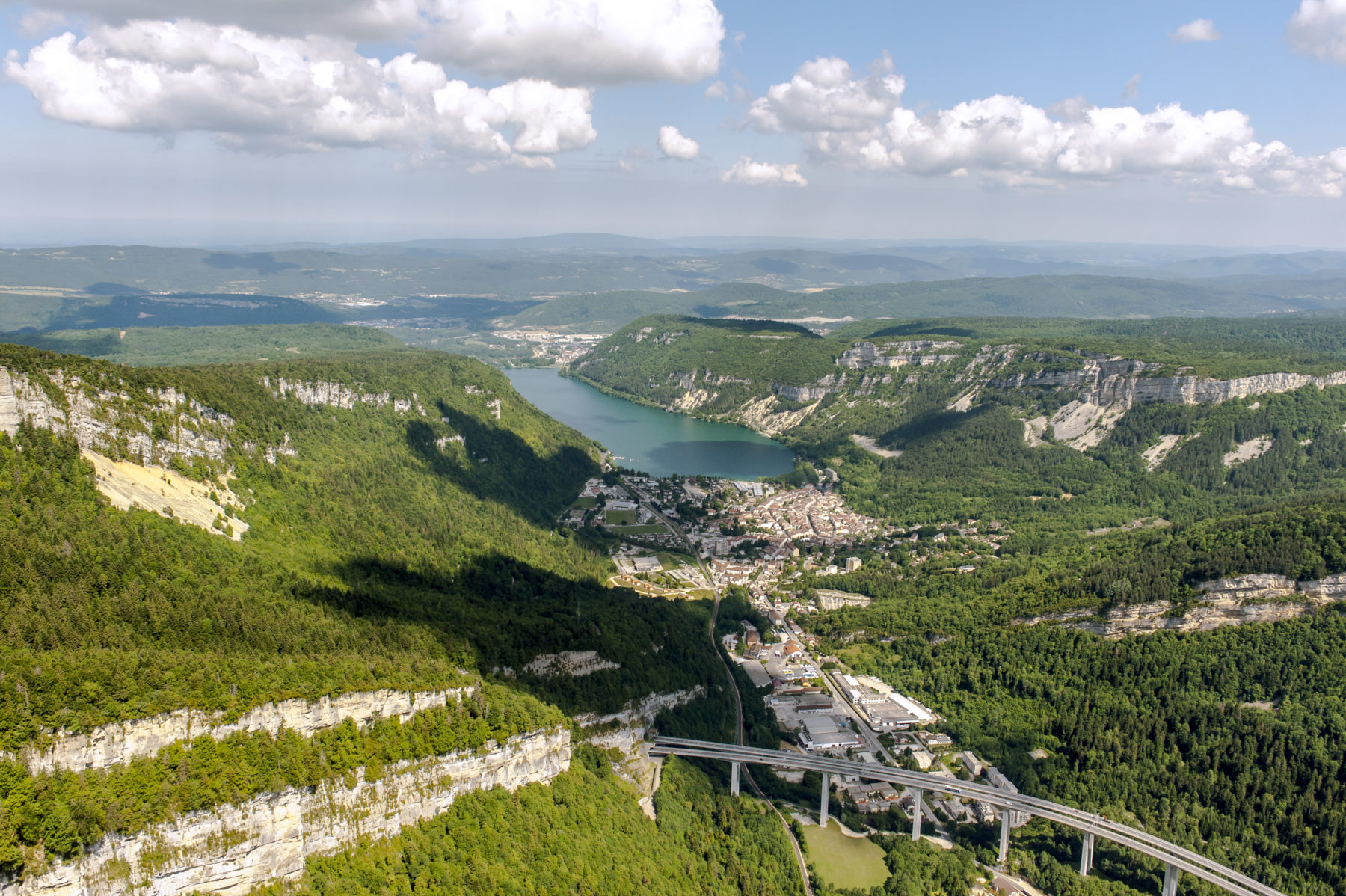
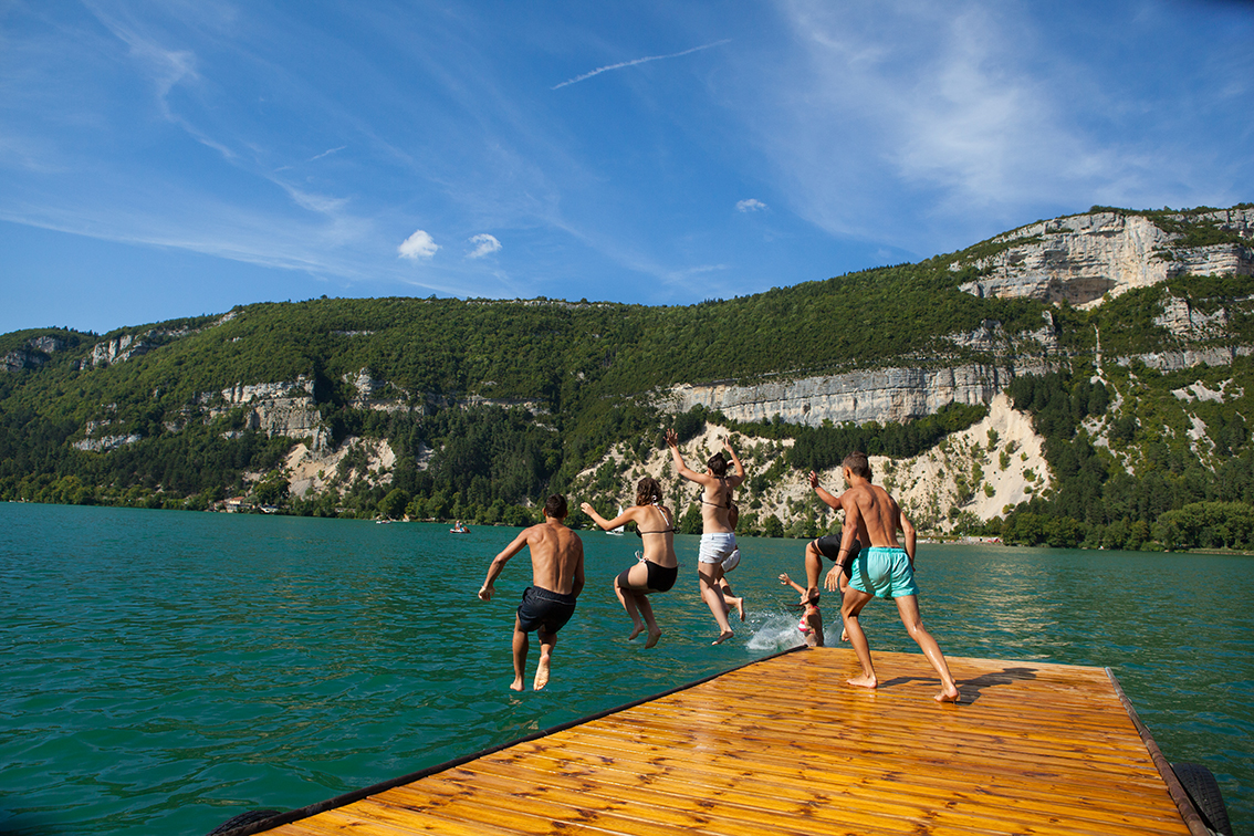
This lake of glacial origin spanning 141 hectares is as suitable for carp fishing fans as it is for swimmers. Surrounded by limestone cliffs, its water varies from blue to dark green. Pedalos, supervised bathing at the Stade Nautique, sailing, fishing, a picnic area and games for children all await visitors!
A lake of many colours
Lake Nantua, sapphire blue in overcast weather and emerald green on sunny days, is a spectacle of colours. Alexandre Dumas referred to it when he wrote his book "Impression de voyage" in 1834: "the pretty little sapphire blue lake, encased like a jewel that nature is afraid of losing".
Towards the middle of the Tertiary Period, during the folding of the Jura, a large fault split the Monts d'Ain secondary range from east to west. Waterways, mainly the Merloz and the Doye, travelled along it on their westward course.
Viaduc de Nantuaa
Altitude: 475 metres
Depth: 43 metres
Surface area: 141 hectares
Width: 650 metres
Length: 2.7 km
Water temperature on 29/08/2018: 22°C
During a period of 200,000 years, with thrusts and retreats, all of our region and the current site of Nantua lay beneath an average thickness of 500 m of ice… This enormous, slow-moving weight widened and deepened the fault, and deposited a mass of waterproof glacial mud on the bottom. As it withdrew, the glacier left behind thick frontal moraines which formed a barrier to running water. This was the birth of Lake Nantua. At a time when humans’ primary concern was finding food, a lake was an easily exploitable food source. From Neolithic times: the Nantua site was occupied by a fishing population.
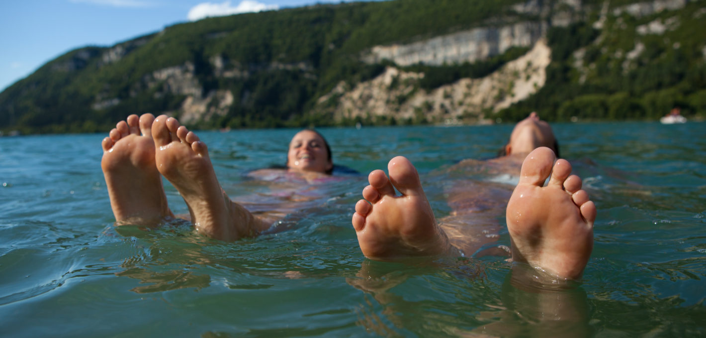
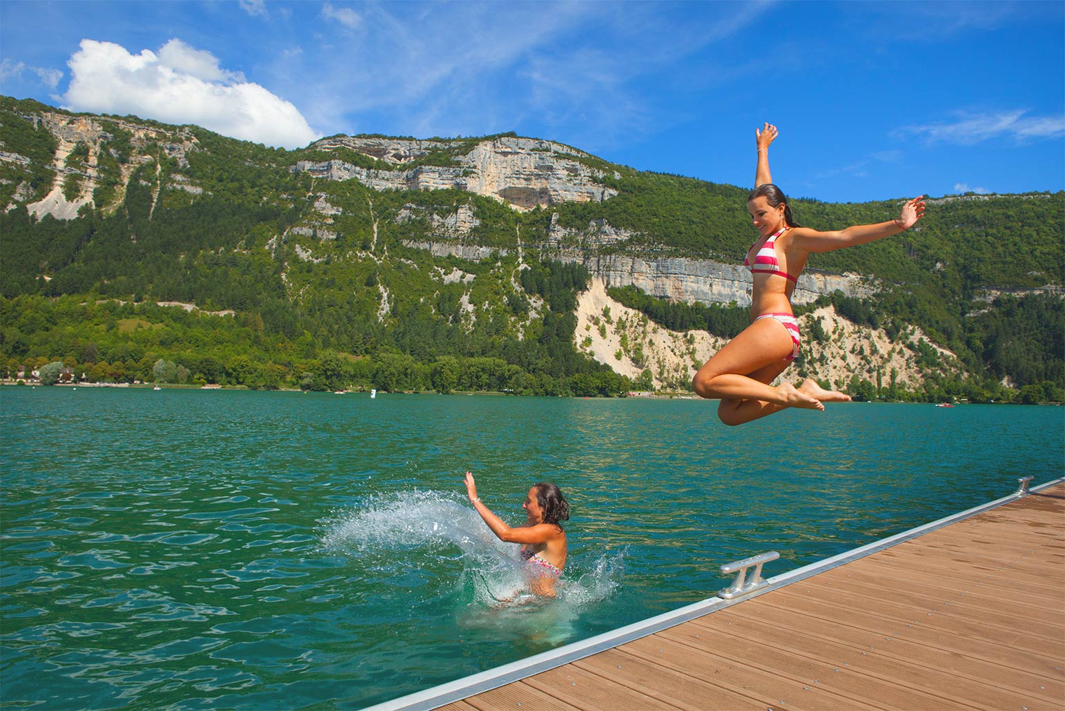
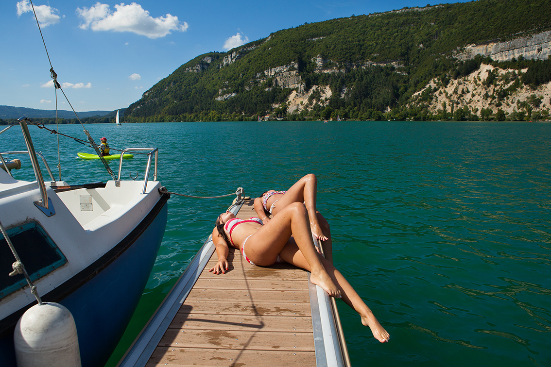
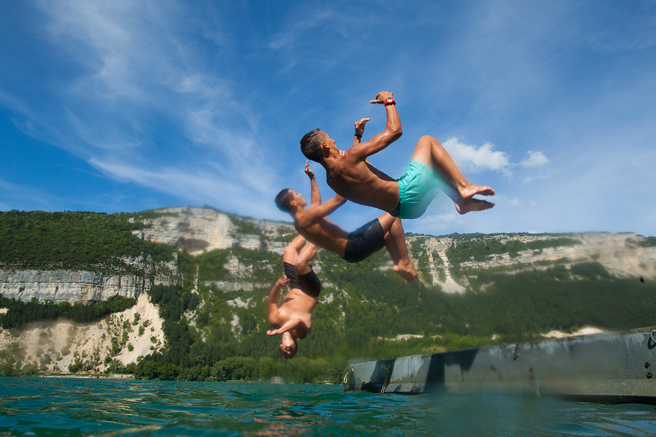
Water activities with a holiday vibe !
Your feet in the water, your head in the clouds, an emerald green vista all the way to the horizon: now that’s a prospect that can’t fail to move you! Between two mountains, Lake Nantua offers many fun water sports activities to enjoy together, accessible to all, like canoeing, waterskiing, paddle boarding, pedalo…
Want to find out more? Follow the guide on a “Nantua along the water” tour! From the lake’s formation to the springs via a legendary pond, you will discover Nantua in a whole new light!
Book your guide with the Tourist Office !
A FEW KEY DATES
In the Middle Ages: the Abbey monks and villagers competed for fishing rights.
During the Revolution: the lake became State property
In 1856: the municipality lowered its water level by 1.5m to avoid floods
In 1868: the municipality bought the lake from the State for 4,000 gold francs (€600,000)
Did you know ?
Lake Nantua is classified since 1936 protected natural site, it is the largest natural lake of the department of Ain.
On video
Informations
Office de Tourisme Haut-Bugey – Espace Trois Lacs
14 rue du docteur Mercier – 01130 NANTUA Tél. +33 (0)4 74 12 11 57