 Contact us
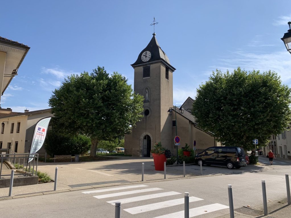
Description
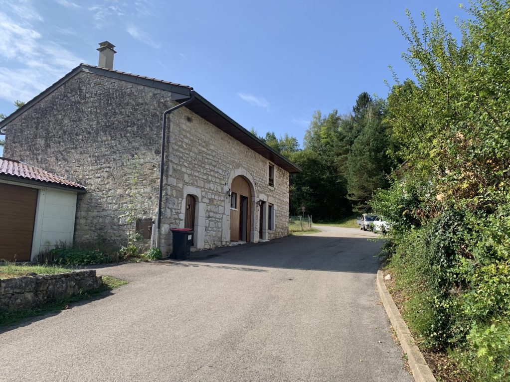
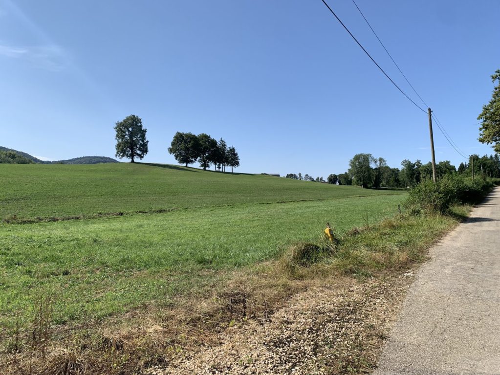
Turn right into Rue du Temple and left into Rue de la Voie Etroite. Cross the Grande Rue. At the end of the street, turn right into Chemin des Trablettes.
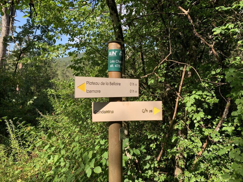
Leave the road to take Chemin de la Monta. When you reach the shooting range, walk alongside it and follow the path downhill, approaching the Charmine dam reservoir, then bending right to reach the hamlet of Condamine.
Cross the D18 and take the path opposite, crossing a bridge and leaving the Touvière mill on your left.
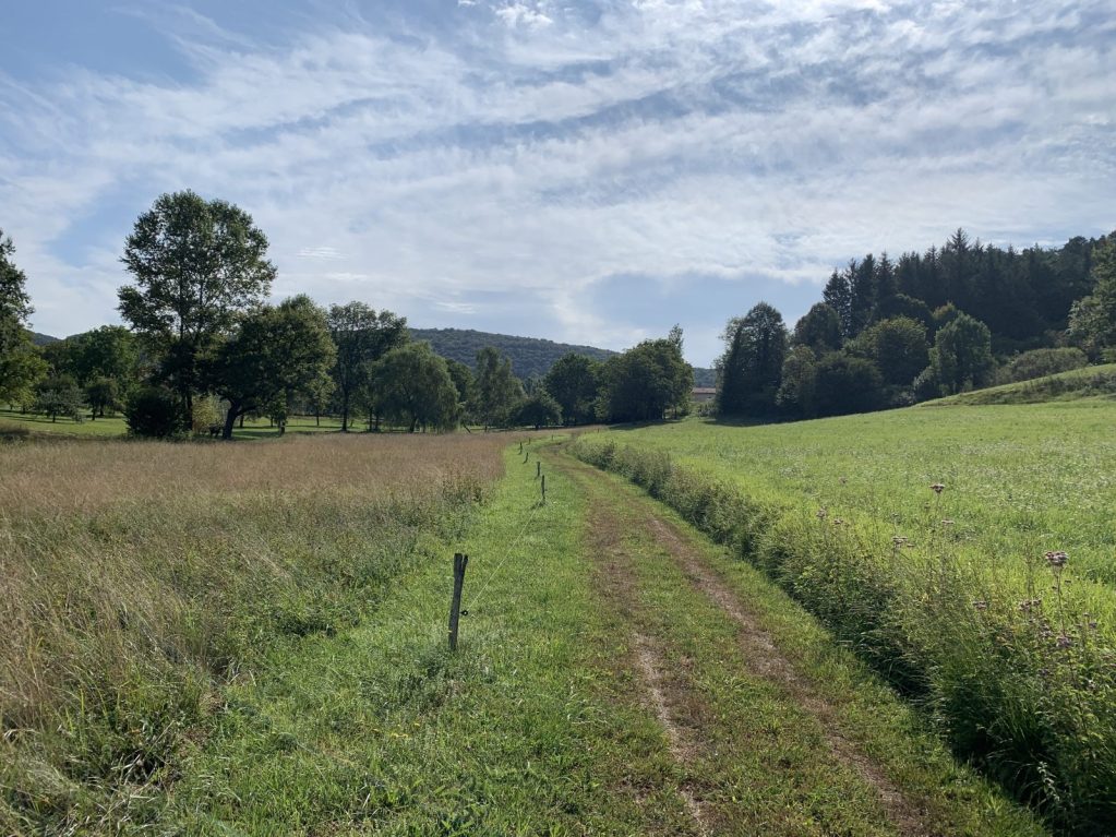
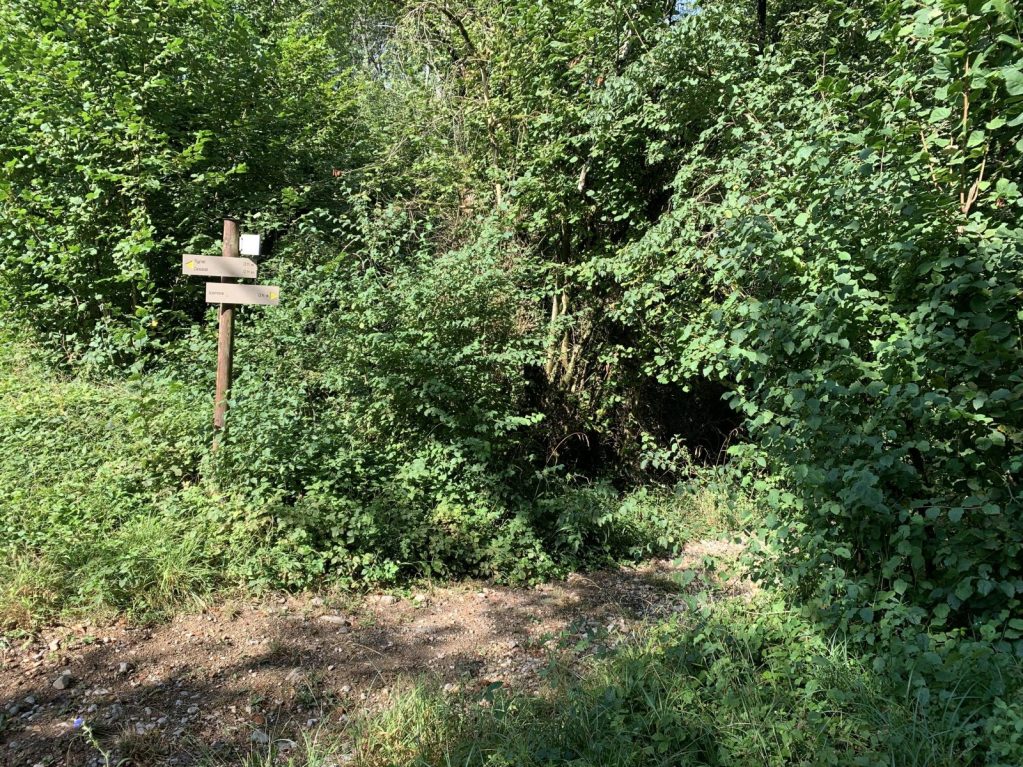
Cross the stream and take the right-hand path. Further on, cross the stream again on a footbridge and follow the path over a plateau, past the Voerle farm and on to Izernore.
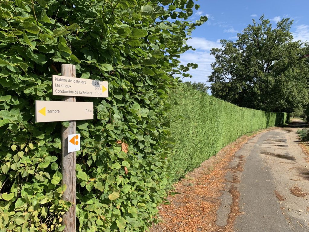
Yellow markings
Reference guidebook: Randonnées Pédestres Vallée de l'Ain - Revermont (CDRP Collection)
IGN 25,000 scale map no. 3228.OT
Details
- Level: green
- Distance: 9km
- Duration: 2h 30 min
Welcoming of pets
- Non communiqué
Openings
- JEUDI
- LUNDI
- MARDI
- SAMEDI
- DIMANCHE
- MERCREDI
- VENDREDI
Réservation
Services and comforts
Activities
- Hiking itinerary
- Pedestrian sports
Accueil des personnes en situation de handicap
- Tourisme adapté : Aucune valeur
- Nombre de pers. pouvant être accueillis en fauteuil roulant : Aucune valeur
- Descriptif handicap mental : Aucune valeur
- Descriptif handicap moteur : Aucune valeur
- Descriptif handicap visuel : Aucune valeur
- Descriptif handicap auditif : Aucune valeur
- Marque tourisme et Handicap : Aucune valeur
Suggestions
-
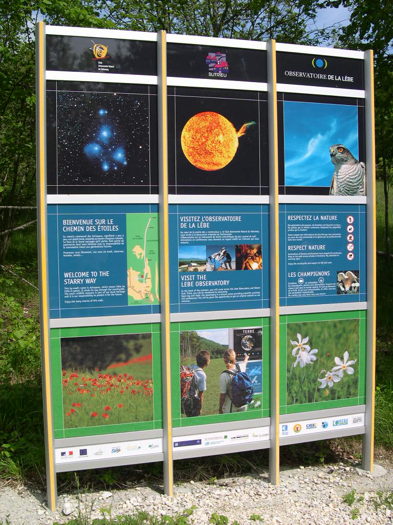 Valromey-sur-Séran ÉquipementsThe path of the stars
 -
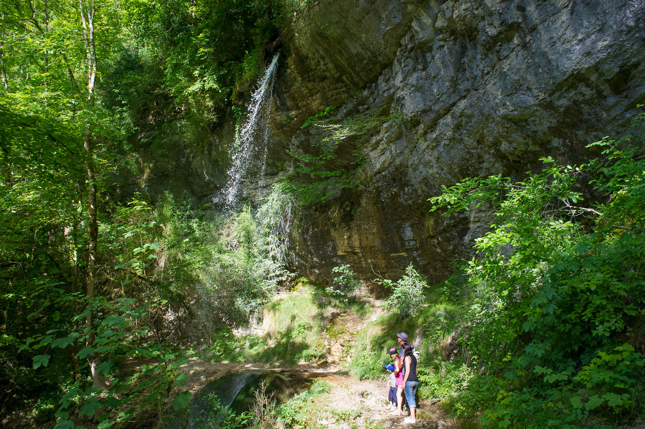 Matafelon-Granges ÉquipementsPisse-Vache Hiking Path
 -
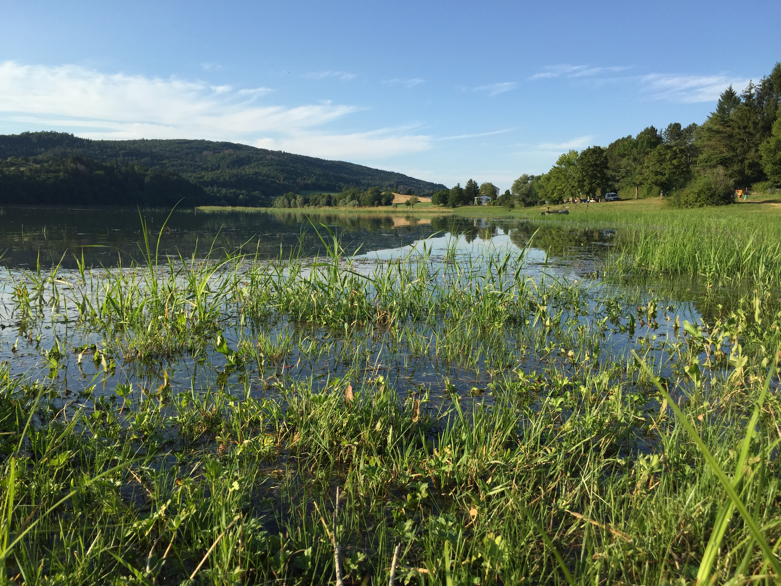 Samognat ÉquipementsRandonnée – Le tour de l’Oignin