

Description
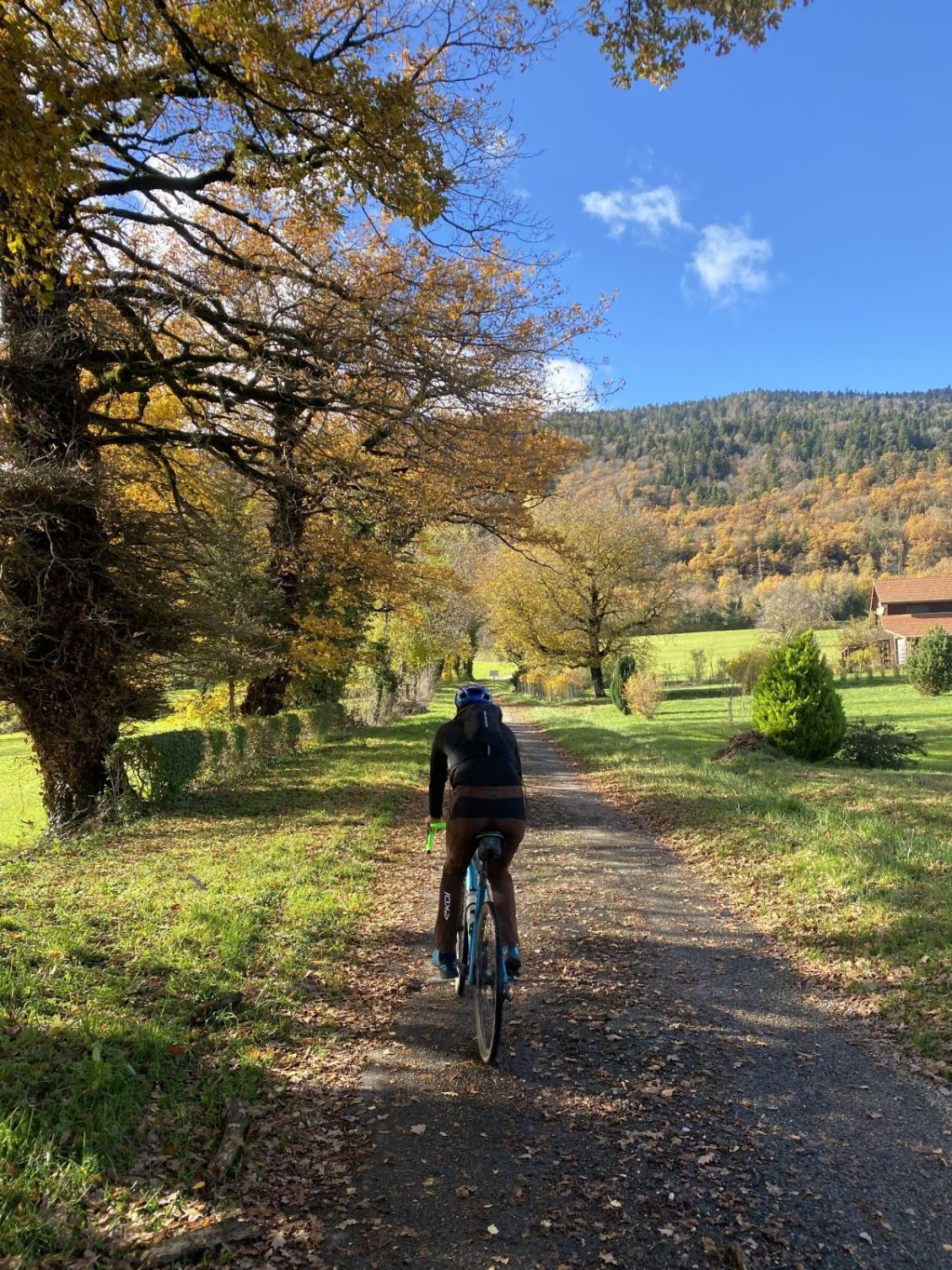
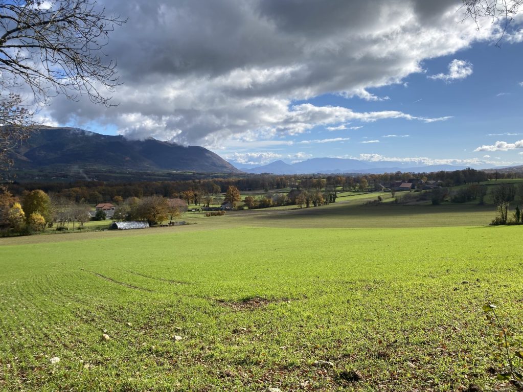
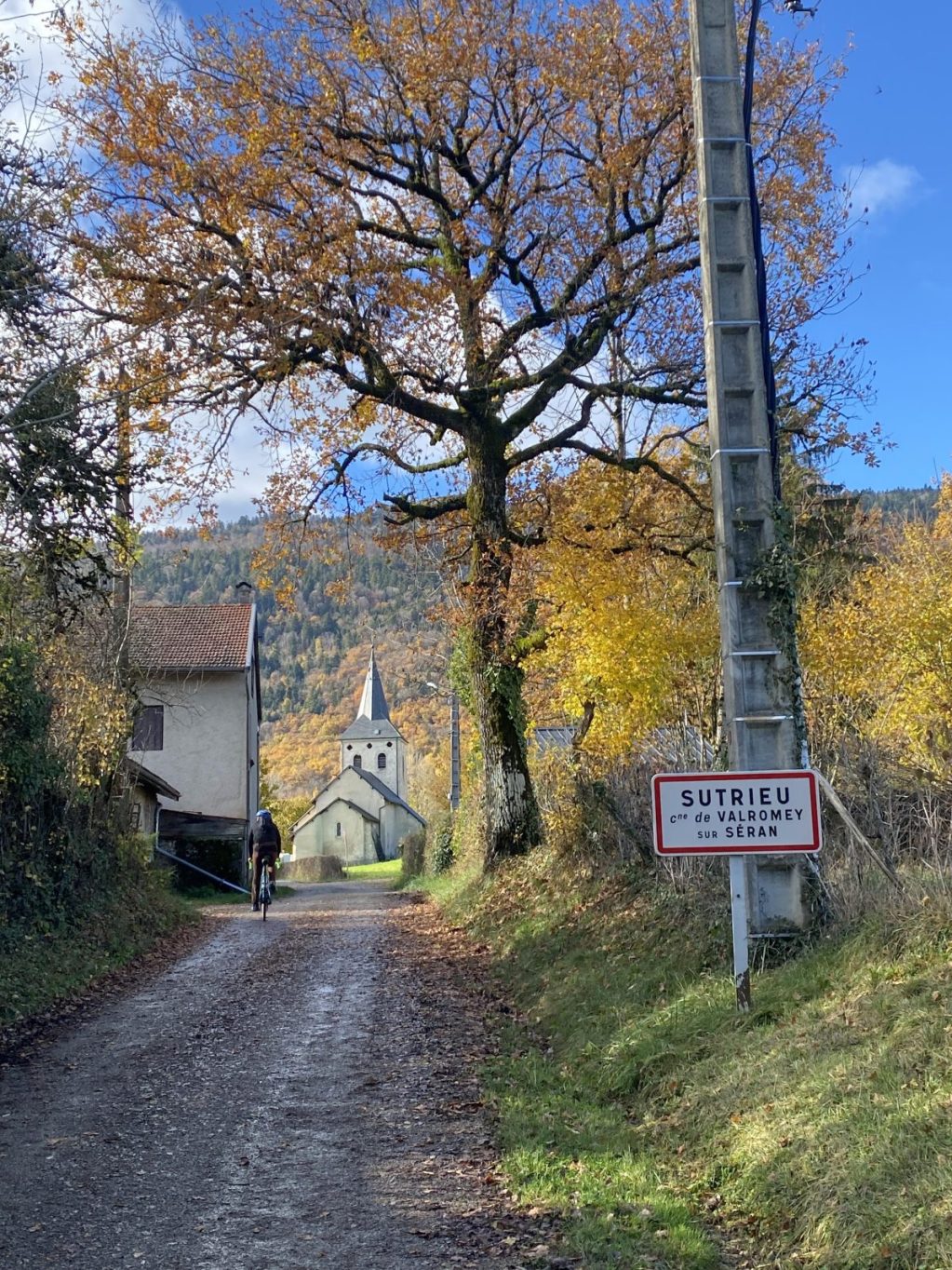
Starting from Les Plans d'Hotonnes or the La Praille site, this unmarked route alternates between gravel tracks, forest passes, forest roads, and very quiet roads. The route offers several open vistas of the surrounding natural landscapes—forests, rivers, valleys, and the area's distinctive terrain—all set against the backdrop of the Grand Colombier massif.
Partially following the "Grande Traversée du Jura" gravel route, this demanding 63 km loop involves 1,650 meters of elevation gain but features little technical terrain.
As the route is unmarked, please download the GPS track or follow the course using the free Ainoutdoor app.
PLEASE NOTE regarding the Plans d'Hotonnes area: due to persistent drought, a flock of sheep has been moved closer to the Chemin des Lieurs to graze. The flock is accompanied by livestock guardian dogs. A recommended detour is in place. August 2026.
Details
- Distance: 63km
- Duration: 3h 30 min
- Positive elevation gain: m1650
Welcoming of pets
- Pets refused
Openings
From 01/04 to 15/11 daily. Closed in winter.
Services and comforts
- Shop
- Bike hire
- Restaurant
- Accommodation
- Mountainbike hire
- Motorhomes allowed
Activities
- Cycling sports
- Gravel bike route
Equipments
- Bar
- Car park
- Free car park
Accueil des personnes en situation de handicap
- Tourisme adapté : Aucune valeur
- Nombre de pers. pouvant être accueillis en fauteuil roulant : Aucune valeur
- Descriptif handicap mental : Aucune valeur
- Descriptif handicap moteur : Aucune valeur
- Descriptif handicap visuel : Aucune valeur
- Descriptif handicap auditif : Aucune valeur
- Marque tourisme et Handicap : Aucune valeur
Suggestions
-
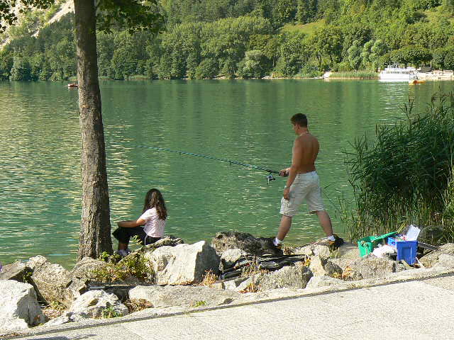 Nantua ÉquipementsFishing on Nantua Lake
 -
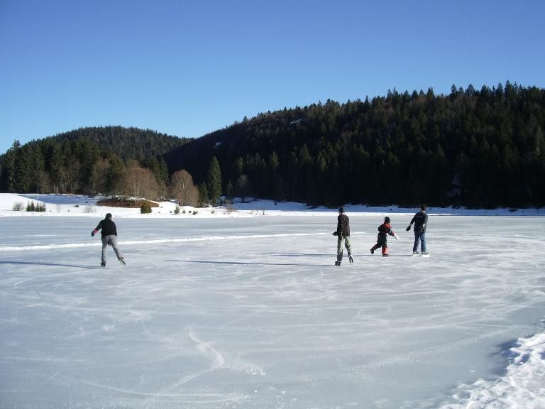 Charix ÉquipementsPatinage sur glace Lac Genin
 -
 Charix ÉquipementsSwimming at Lake Genin