- Ajouter aux favoris


Description
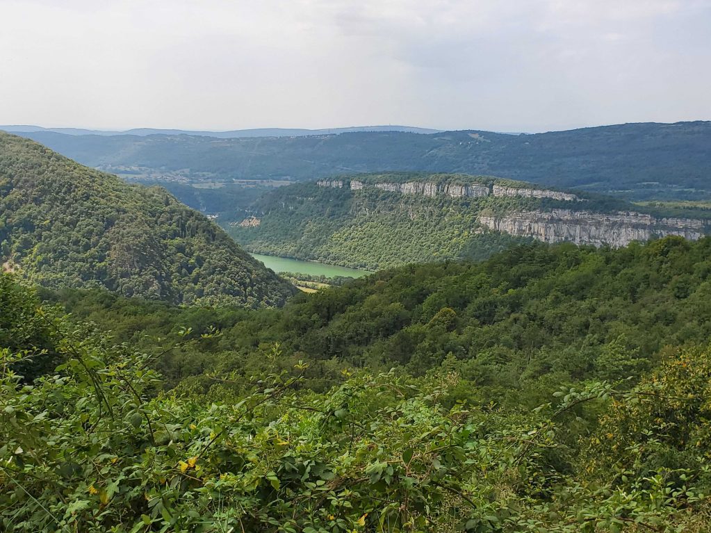
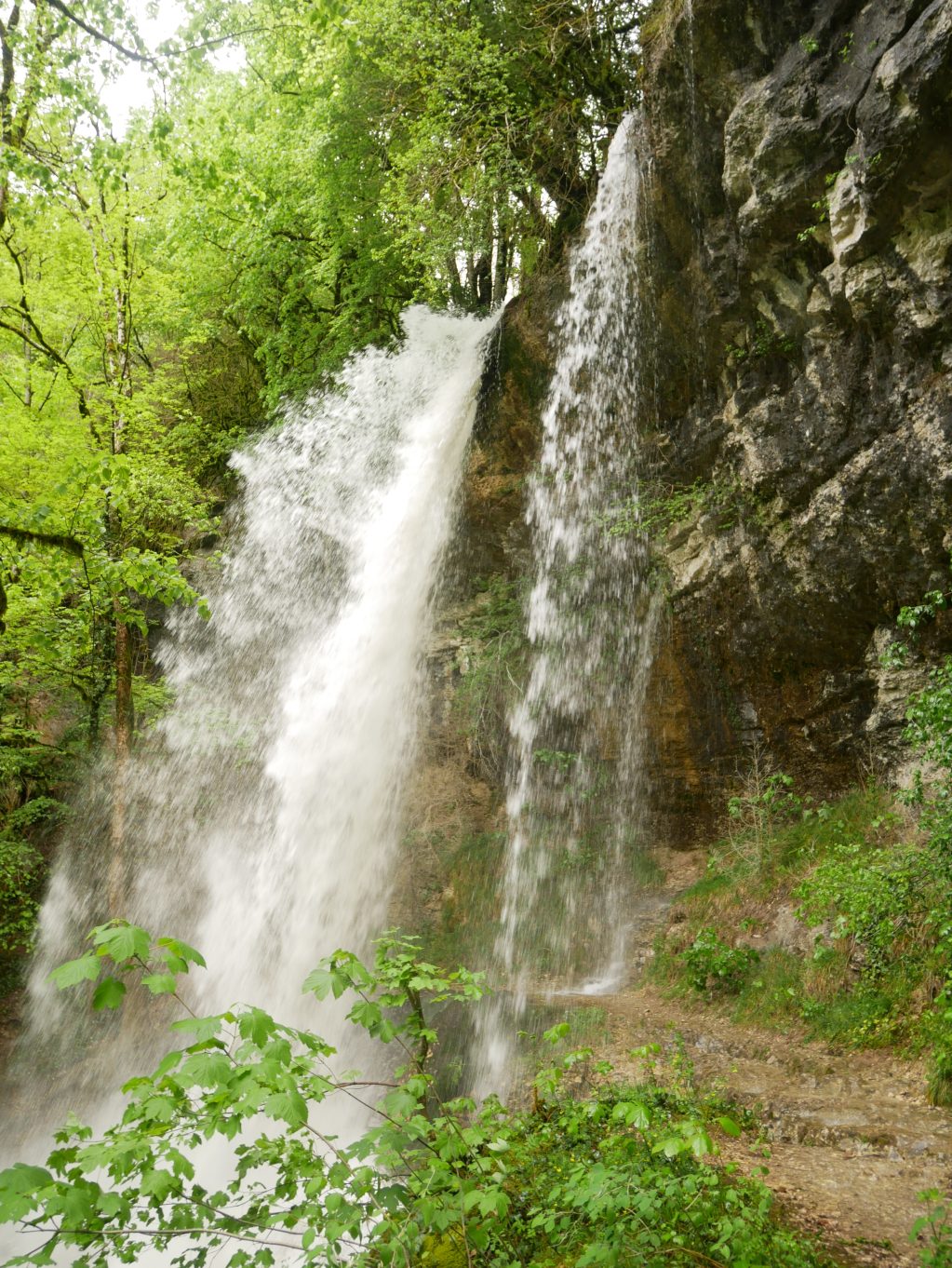
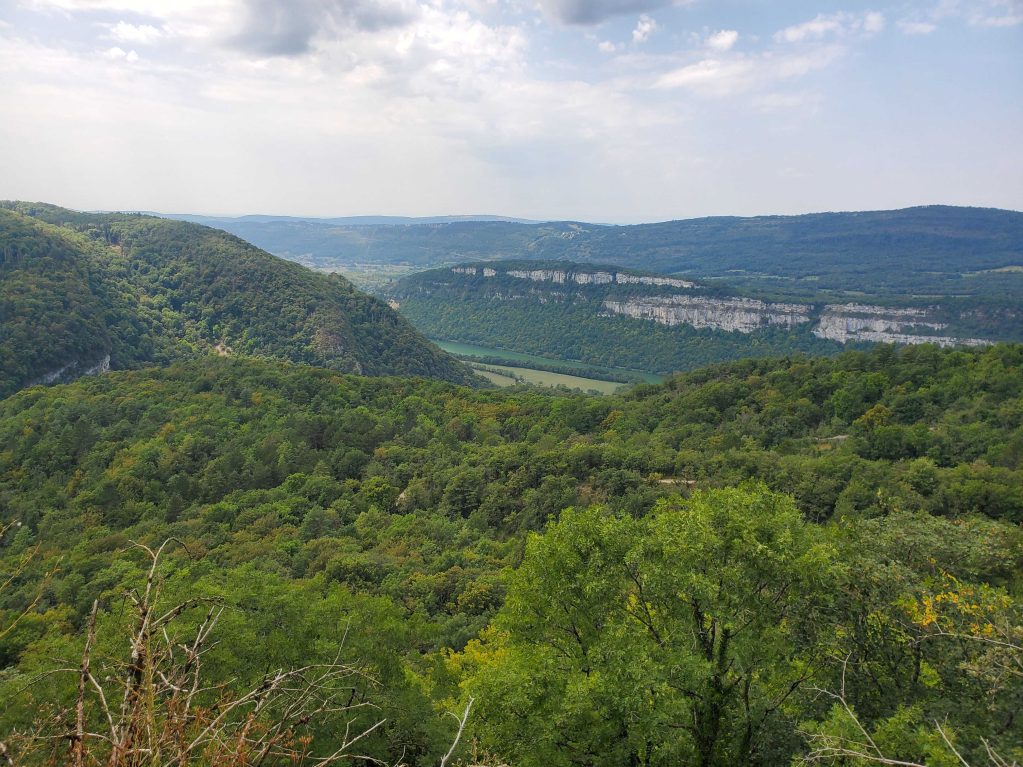
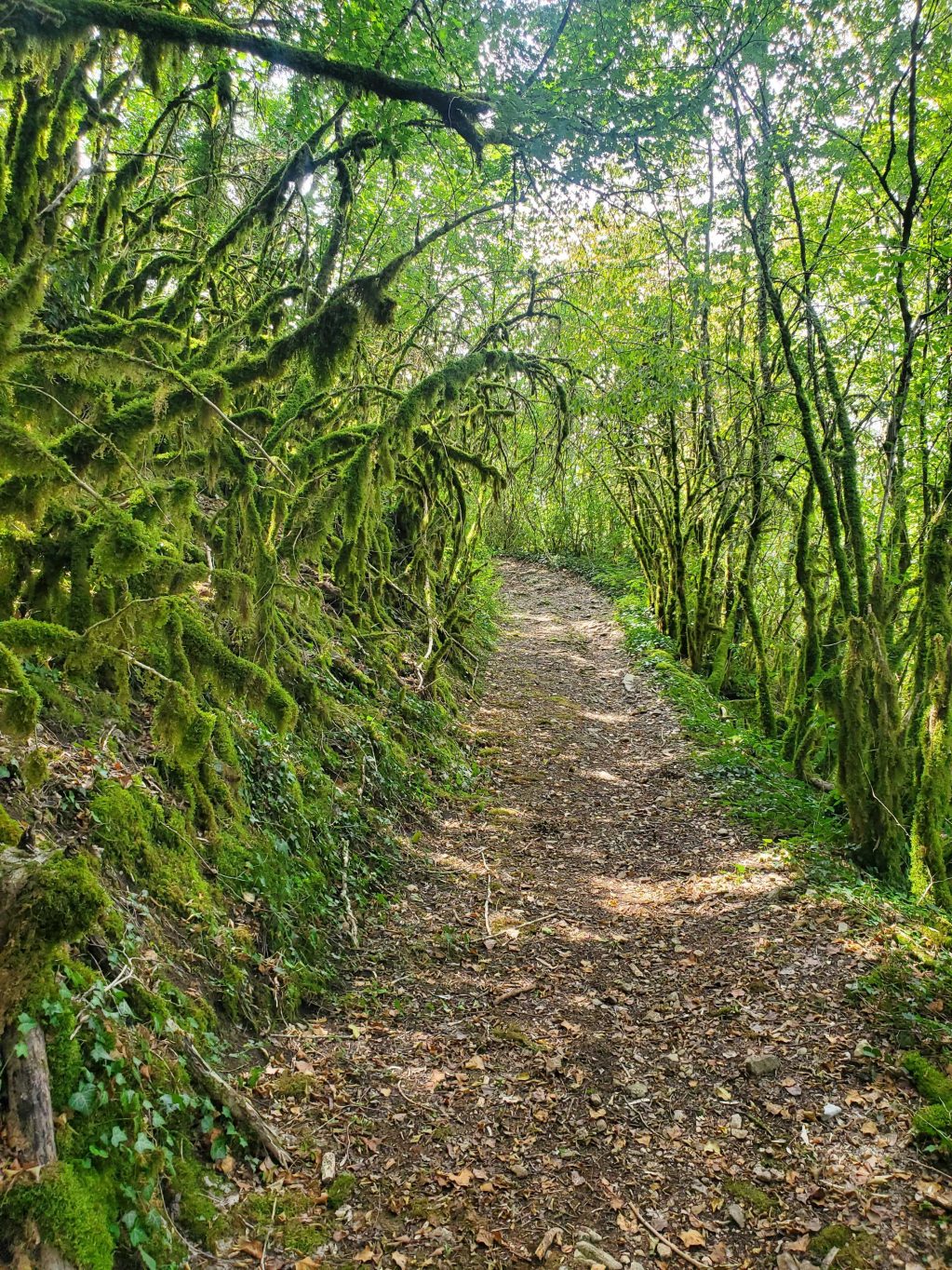
This hiking path is marked out in yellow. The starting point is the town of Bombois and next the waterfall "Pisse Vache". The path climbs sharply to Heyriat. After crossing the town, the path carry on to Vernon 's ruins. It is threaded its way down to Granges and returns to Bombois, along the Ain river bank.
Details
- Level: red
- Distance: 12.9km
- Duration: 4h 30 min
- Positive elevation gain: m515
Welcoming of pets
- Pets accepted
- Pets allowed without supplements
Openings
- JEUDI
- LUNDI
- MARDI
- SAMEDI
- DIMANCHE
- MERCREDI
- VENDREDI
Réservation
Services and comforts
Activities
- Hiking itinerary
- Pedestrian sports
Accueil des personnes en situation de handicap
- Tourisme adapté : Aucune valeur
- Nombre de pers. pouvant être accueillis en fauteuil roulant : Aucune valeur
- Descriptif handicap mental : Aucune valeur
- Descriptif handicap moteur : Aucune valeur
- Descriptif handicap visuel : Aucune valeur
- Descriptif handicap auditif : Aucune valeur
- Marque tourisme et Handicap : Aucune valeur
Suggestions
-
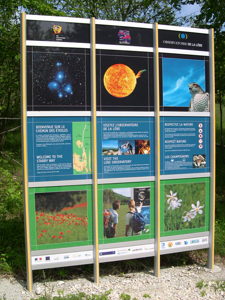 Valromey-sur-Séran ÉquipementsThe path of the stars
 -
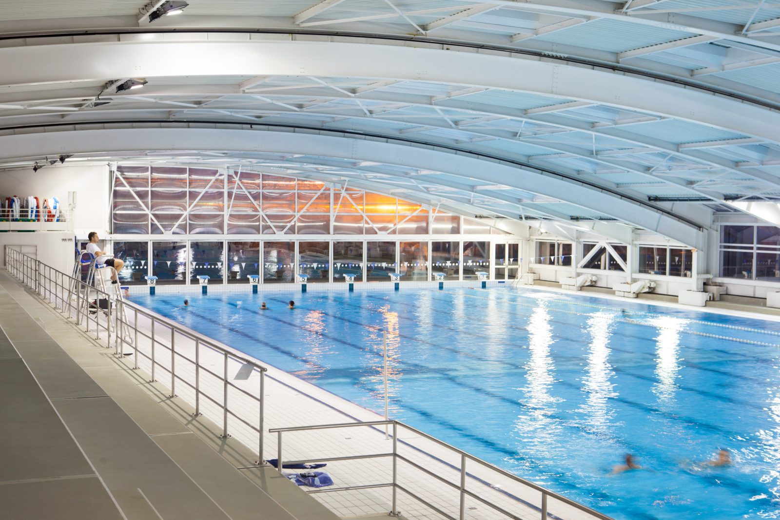 Oyonnax ÉquipementsAquatic Center
 -
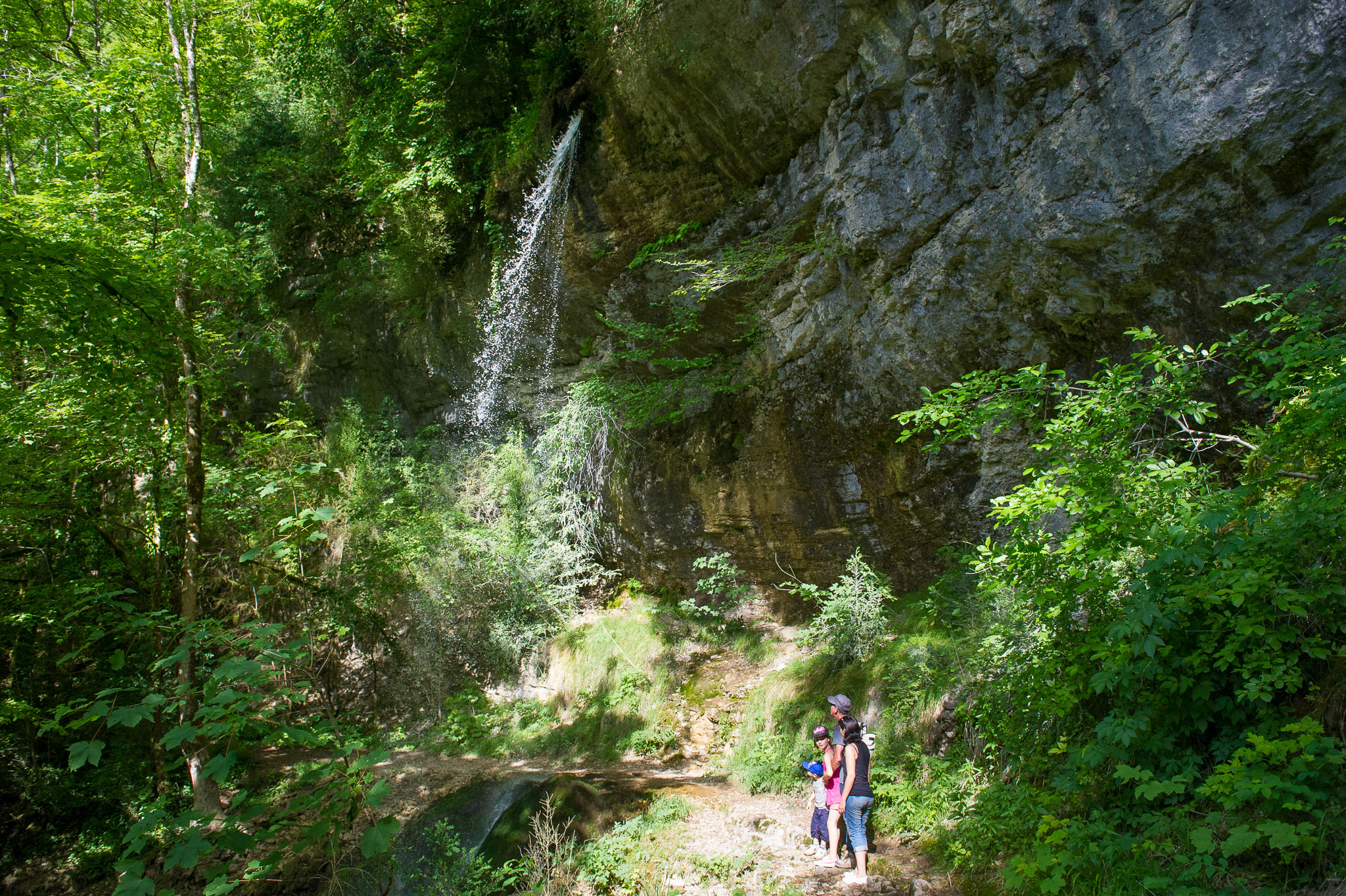 Matafelon-Granges ÉquipementsPisse-Vache Hiking Path