- Ajouter aux favoris
Description
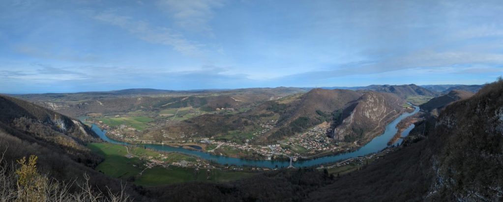
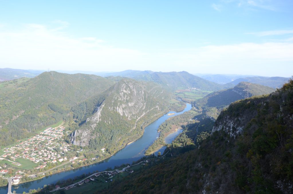
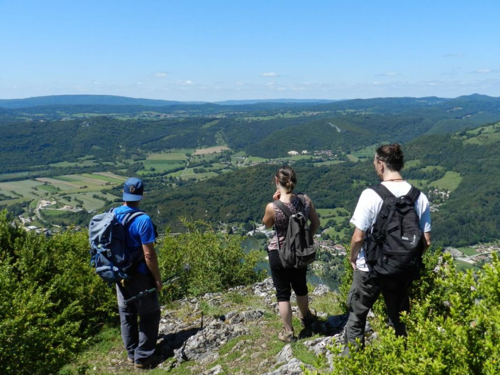
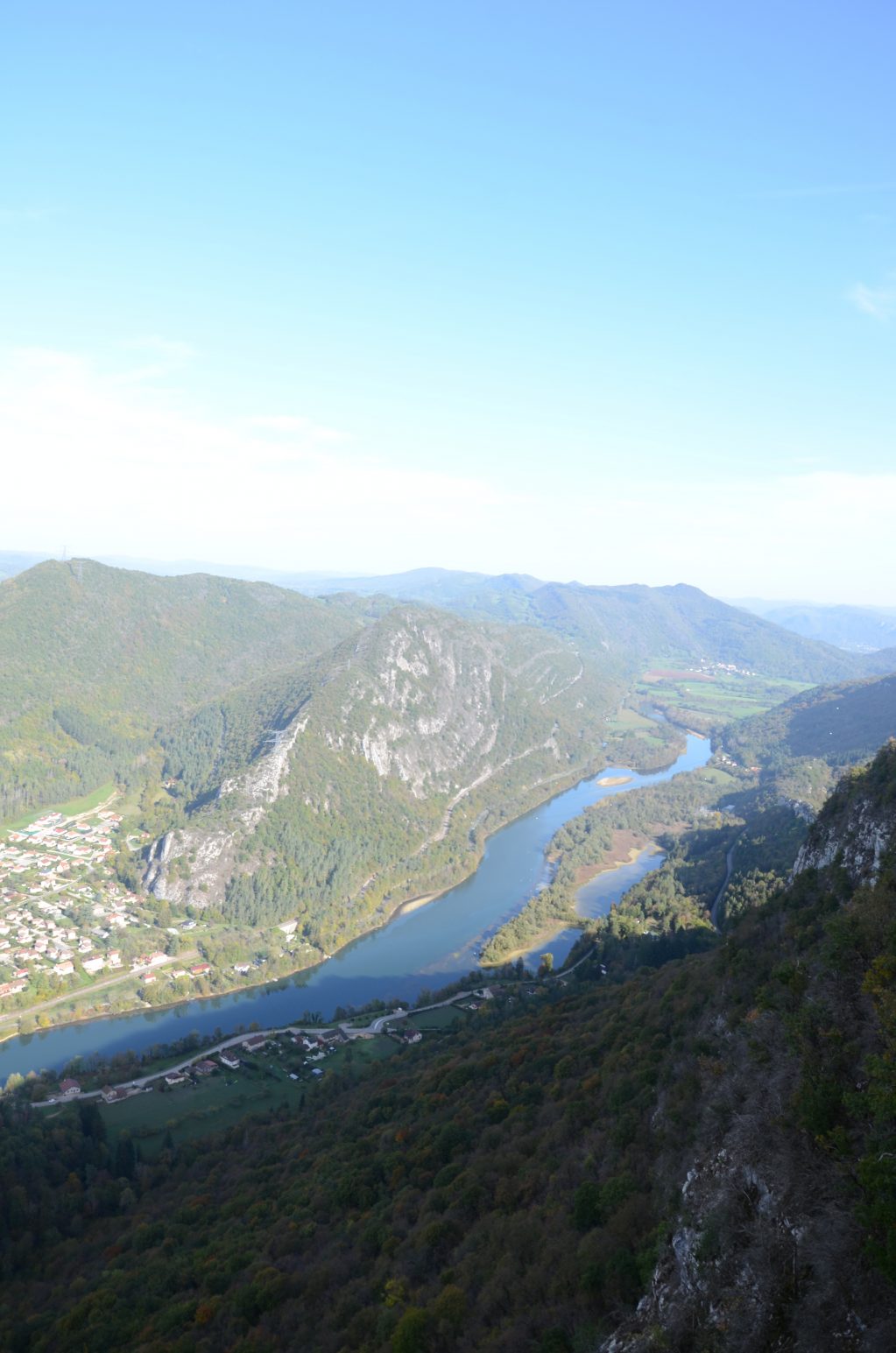
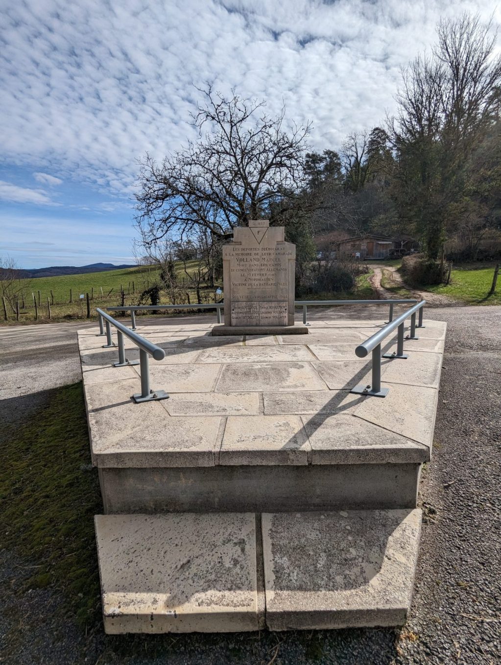
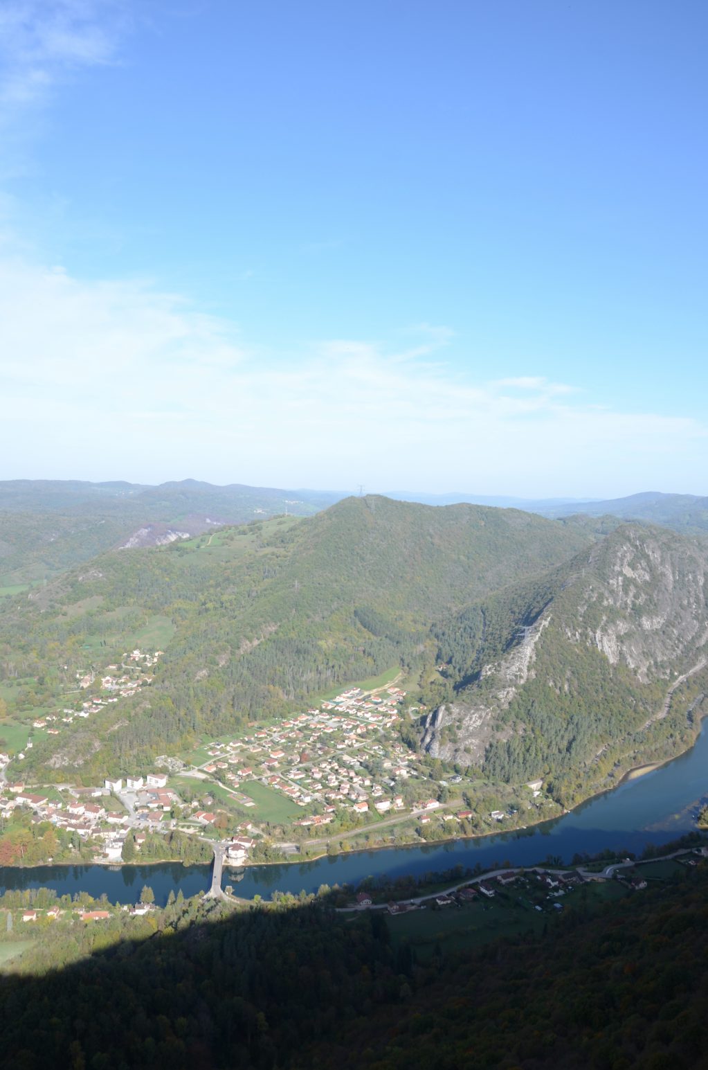
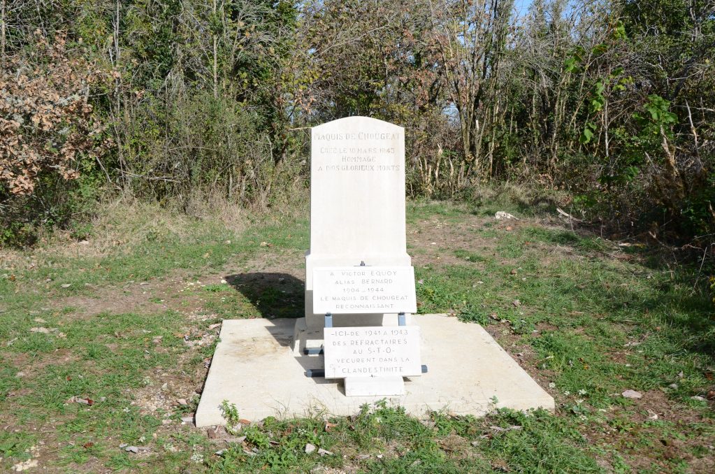
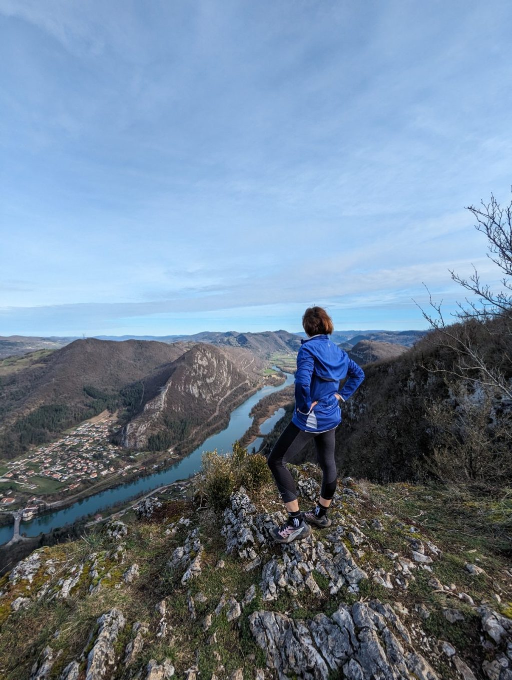
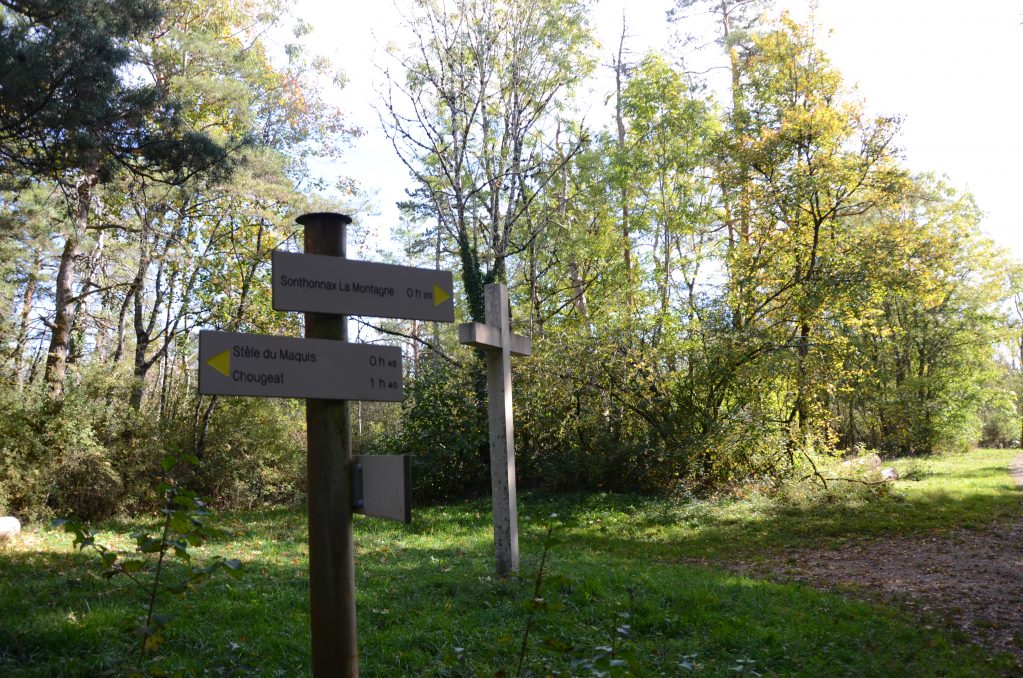
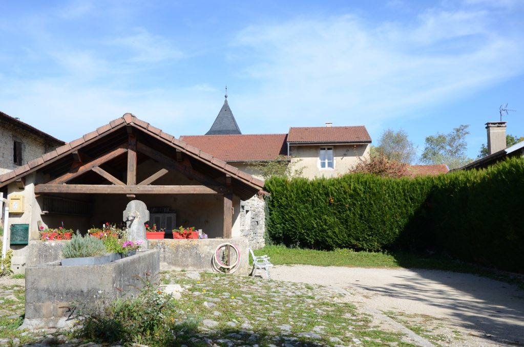
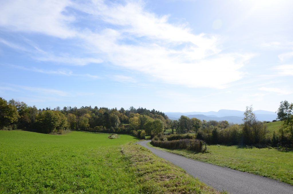
This hiking path is marked out in yellow. The starting point is the crossroads of Chougeat. After the town, the path meets up with a cliff, which offers you a wonderful view on the Ain river. Next, it goes past a former farm and the village of Sonthonnax la Montagne and return to Chougeat.
Details
- Distance: 8km
- Duration: 2h 30 min
- Positive elevation gain: m200
Welcoming of pets
- Non communiqué
Openings
All year round.
Subject to favorable weather.
Prices
Free of charge.
Réservation
Services and comforts
Activities
- Hiking itinerary
- Pedestrian sports
Accueil des personnes en situation de handicap
- Tourisme adapté : Aucune valeur
- Nombre de pers. pouvant être accueillis en fauteuil roulant : Aucune valeur
- Descriptif handicap mental : Aucune valeur
- Descriptif handicap moteur : Aucune valeur
- Descriptif handicap visuel : Aucune valeur
- Descriptif handicap auditif : Aucune valeur
- Marque tourisme et Handicap : Aucune valeur
Suggestions
-
 Valromey-sur-Séran ÉquipementsThe path of the stars
 -
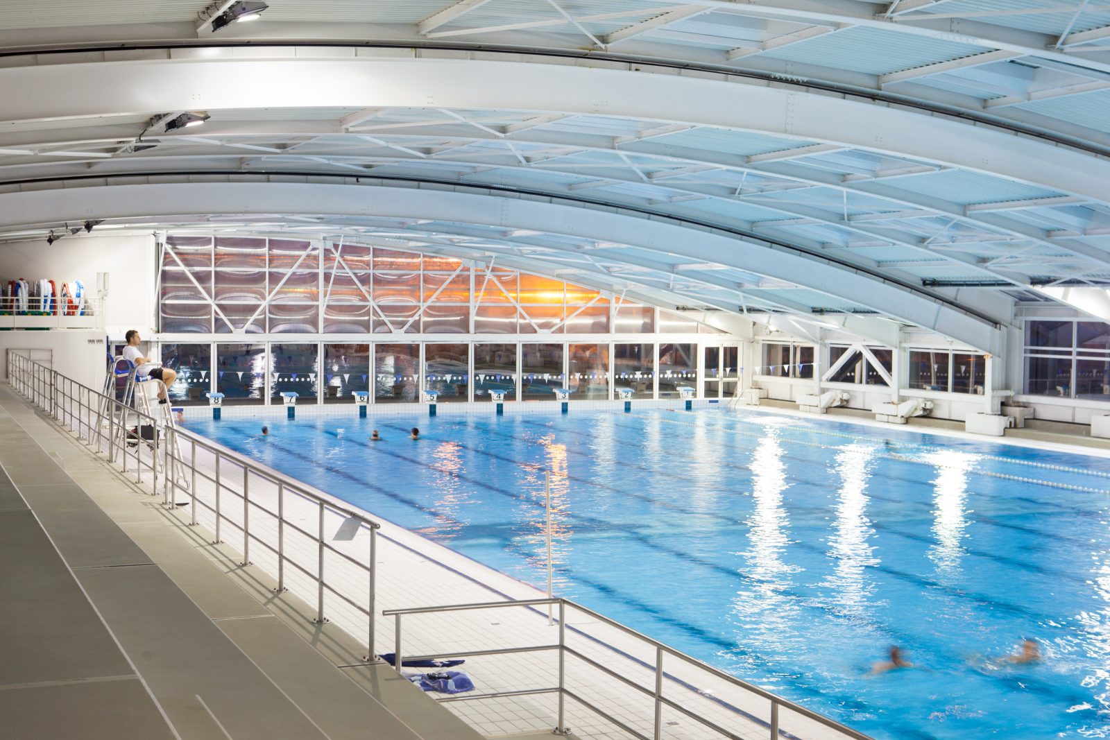 Oyonnax ÉquipementsAquatic Center
 -
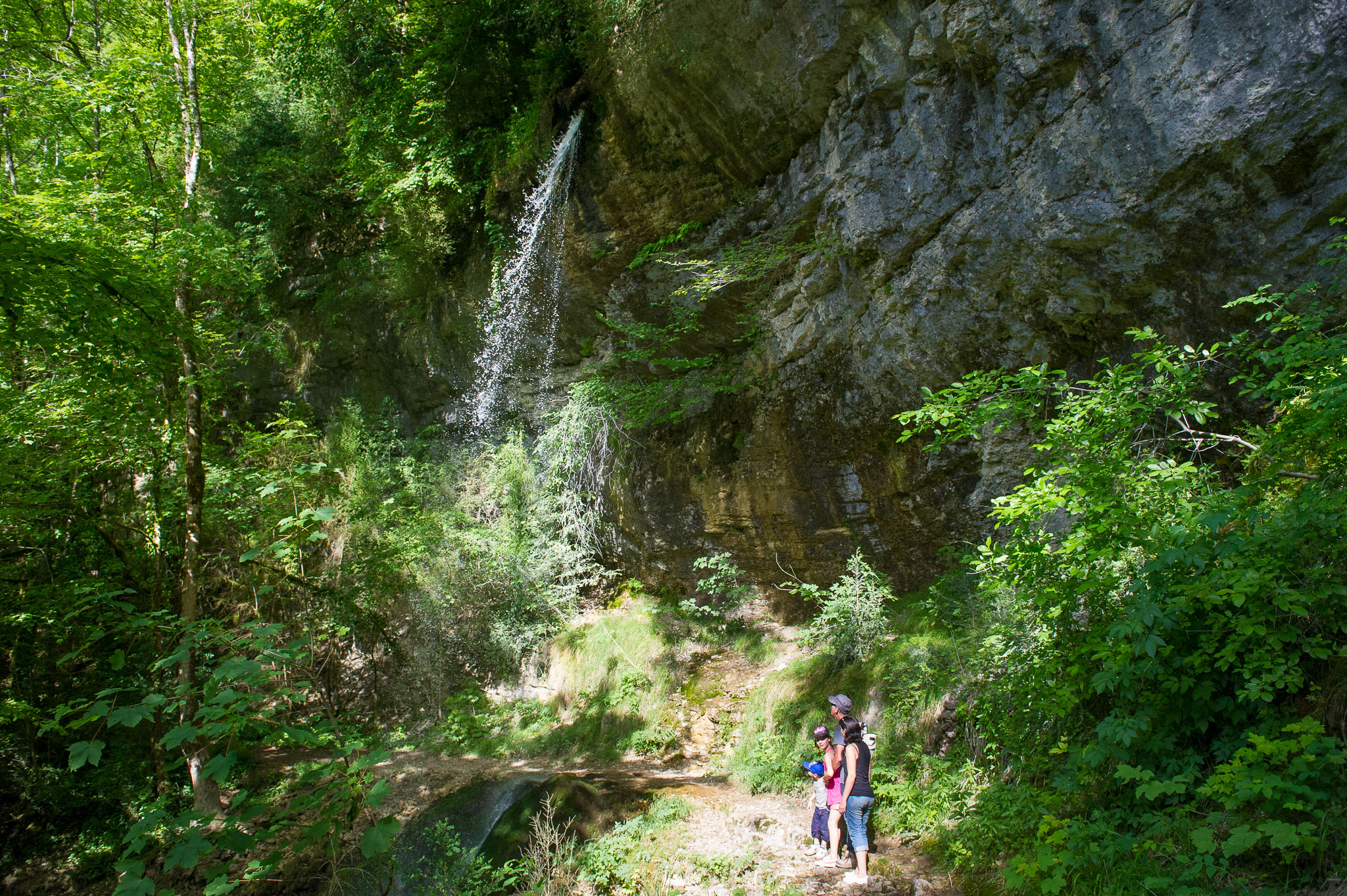 Matafelon-Granges ÉquipementsPisse-Vache Hiking Path