

- Ajouter aux favoris
Description
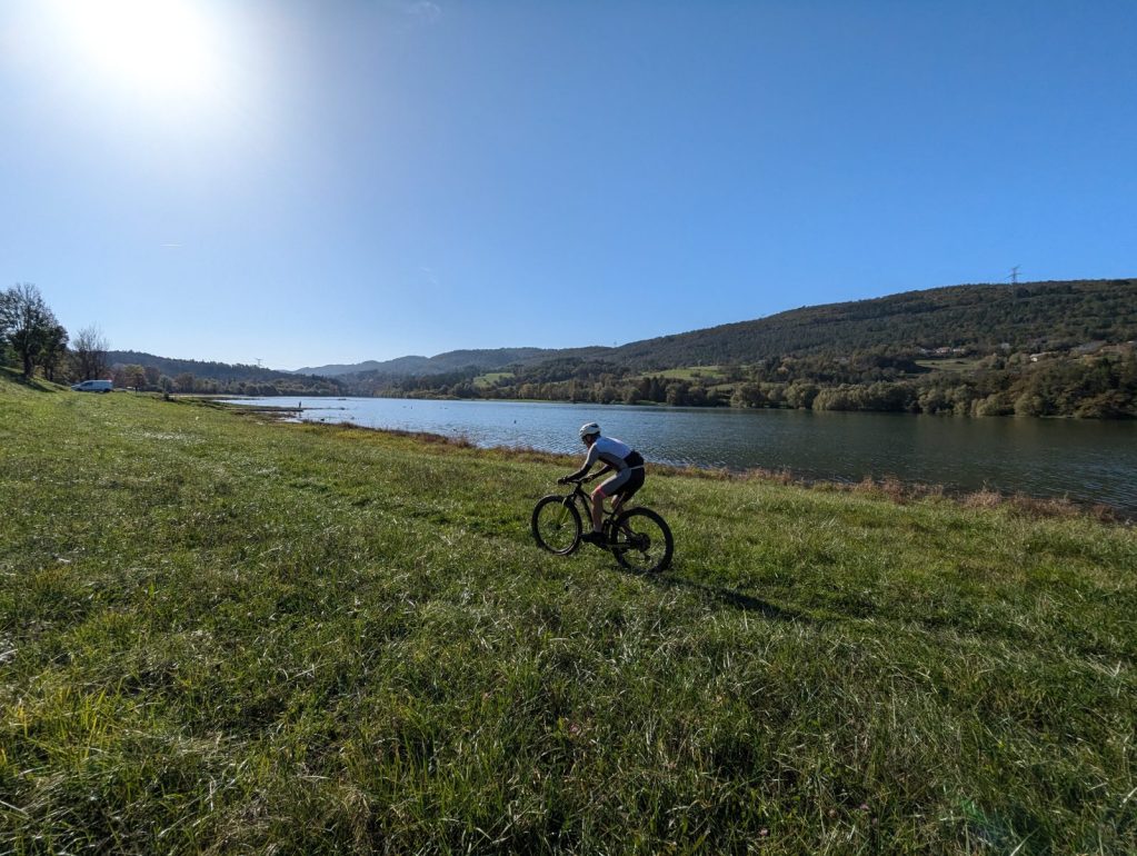
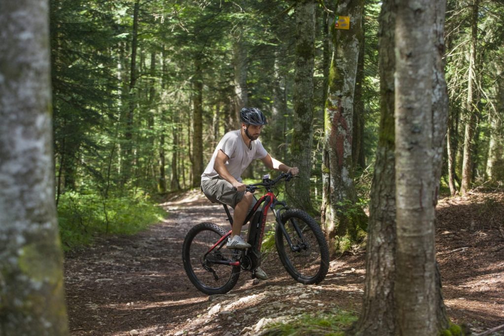
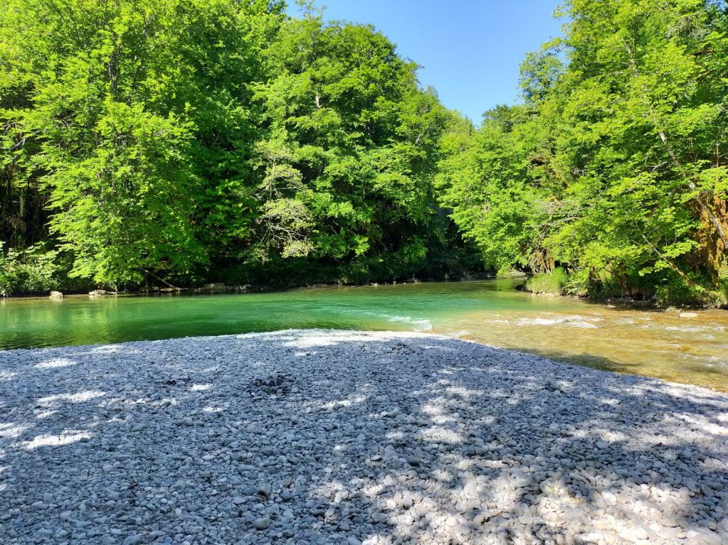
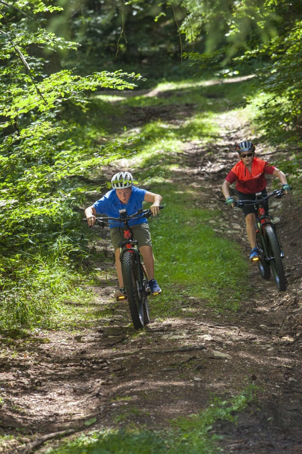
With 145 km in length and nearly 4000 m of D + this fully signposted loop will delight lovers of roaming, and you will discover the Lake of Nantua, the Val d'Oignin lake, the Genin lake, the forests of Haut Bugey, the Valserine valley or the Plateau de Retord with its panoramic views of Mont Blanc. For the more adventurous, you can complete this circuit from the Plans d'Hotonnes with the Tour VTT Bugey Grand Colombier of nearly 100km which will also offer you a passage through Hauteville and the Grand Colombier offering many viewpoints on the Alps and the lake of Bourget.
The two TGV stations, Nurieux and Bellegarde (Valserhône), which serve this circuit, are 2 possibilities to reach this route by train.
- 1st stage: from Samognat to Giron: 50 km
- 2nd stage: from Giron to Plans d'Hotonnes: 40 km strong D+
- 3rd stage: from Plans d'Hotonnes to Samognar: 55 km downhill profile.
At each of these stages, you will find establishments labeled "Accueil vélo" (bike hire, accommodation, etc.). The addresses can be found on: https://www.francevelotourisme.com/accueil-velo
Description of the route from the Nurieux TGV station:
The first part towards Lake Val d'Oignin will be a warm-up through the plain of Izernore and the Belloire plateau. This section will then take you across the Oignin jumps dam from where you can see the pots in the hollow of the Oignin gorges. This small loop will then take you along a part of the lake from where you will join a first forest ascent with pronounced elevation difference, before switching to Oyonnax by small singles players in the forest of Chatelard. You will cross part of the city along the river Lange and take a part of the route of the soft way to the station of Oyonnax. Until then, you will take a city route that is suitable for refueling. Do not miss the passage in front of some trompe-l'oeil, typical of the city that you will leave, by heading towards the Lake Genin, one of the gems of the department of Ain and Haut-Bugey.
The long climb on a wide non-technical path will allow you to appreciate even more the arrival at the lake where you can enjoy the services of the Inn.
You will then take one of the circuits from the Inn to cross the forest and head towards the territory of Terrre Valsehône, first passing very close to the site of Dinoplagne and its track of titanosaur footprints labeled Sensitive Natural Area. Then the route will take you by the path of Saint-Jacques de Compostelle to Saint-Germain-de-Joux before starting a beautiful climb towards the highest village of the Department of Ain: Giron.
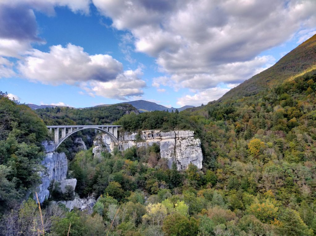
After Giron, the route takes routes no. 29 and the GTJ connection via the Tram Route to reach Valserhône. Some downhill sections are technical, but you can still enjoy the scenery; most of the stage remains rolling and accessible. You will pass by the Pont des Pierres and its impressive view of the Valserine Valley and then by the Mêlées des Eaux, confluence of the rivers Valserine and Semine. At this point, you will have the choice to continue on the Grand Tour or to make a detour through the city center of Valserhône to reach the TGV station of Bellegarde or to discover the Pertes de la Valserine, Sensitive Natural Space where water is lost in impressive canyons to reappear a few meters away.
If you continue on the big tour, you will start after Châtillon a long climb on forest track to reach the Plateau de Retord, you find a relatively flat land arrived at the refuge of La Conay at 1193 meters altitude. Reach the Col de Cuvéry, where it is possible to eat and then continue on the route of the Grandes Traversées du Jura towards the south of the Plateau de Retord.
From the Crêt du Nu, the highest point of this Country Tour, you will descend to the small station of Les Plans d'Hotonnes located below. During your stage, you will find several accessible services: catering, accommodation and bike rental-repair in case of problems. You will then continue your journey on a common section with the GTJ MTB variant via la Praille to the Jorat. From the Plans d'Hotonnes, for the most motivated, you can extend the pleasure and continue on the second Tour de Pays "Bugey - Grand Colombier".
From the Jorat, you will take a rather rolling portion with its forest passages that will allow you to reach the village of Brénod. Take the opportunity to stop at his fruit shop, enjoy a piece of COMTE or refuel at his restaurant and grocery store. Leaving Brénod, you will pass close to the Marron Ponds, make a small detour to admire them and understand the history of this particular place that will be told to you further down by going down into the forest of Meyriat where once a chartreuse was established then destroyed during the revolution. This fast descending section on a paved forest road adapted to the Gravel will quickly take you in the direction of Lake Nantua, which you can walk around, adding 6 km.
The rest is on the gentle route that will take you back to Nurieux TGV station.
Welcome supplement
Departure possible from the TGV Nurieux station or the TGV Valserhône station.
Details
- Distance: 145km
- Duration: 3 days
- Positive elevation gain: m3985
Welcoming of pets
- Pets refused
Openings
From 01/04 to 15/11 daily.
Subject to favorable weather.
Prices
Free access.
Services and comforts
Activities
- Cycling sports
- Mountain biking itinerary
Equipments
- Car park
Accueil des personnes en situation de handicap
- Tourisme adapté : Aucune valeur
- Nombre de pers. pouvant être accueillis en fauteuil roulant : Aucune valeur
- Descriptif handicap mental : Aucune valeur
- Descriptif handicap moteur : Aucune valeur
- Descriptif handicap visuel : Aucune valeur
- Descriptif handicap auditif : Aucune valeur
- Marque tourisme et Handicap : Aucune valeur
Suggestions
-
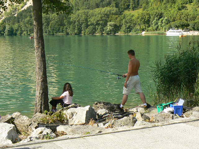 Nantua ÉquipementsFishing on Nantua Lake
 -
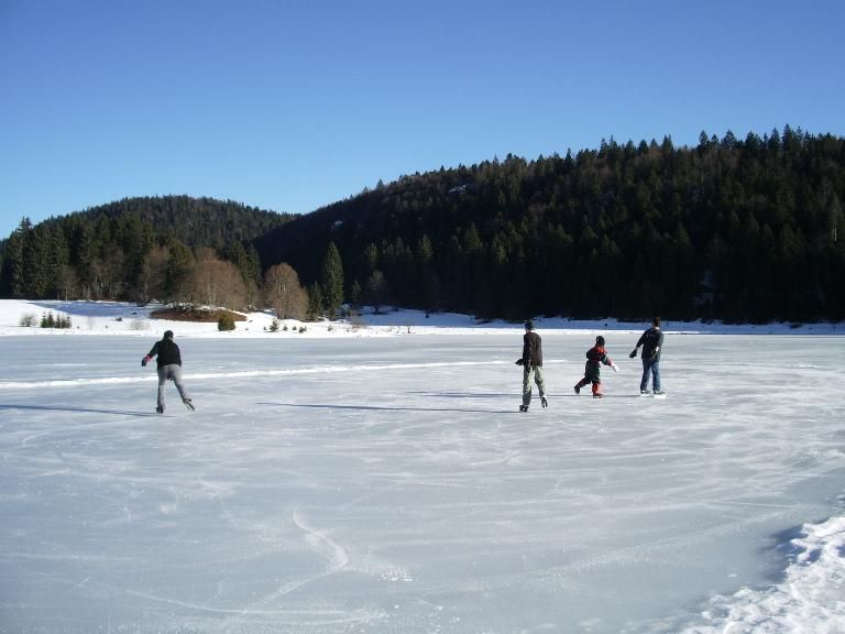 Charix ÉquipementsPatinage sur glace Lac Genin
 -
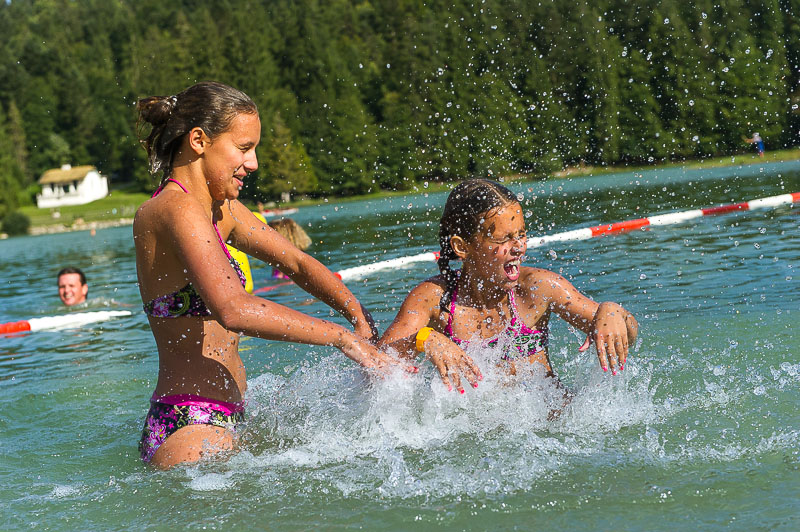 Charix ÉquipementsSwimming at Lake Genin