- Ajouter aux favoris
Description
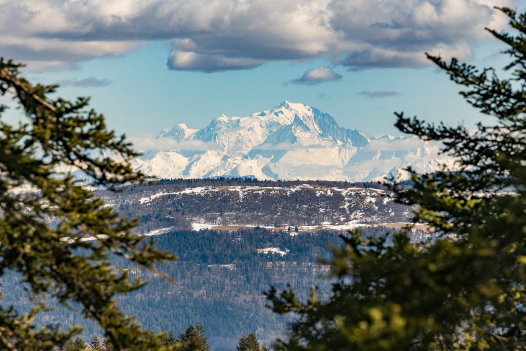
The orientation table allows you to identify the surrounding peaks, valleys, and plateaus. In the foreground, the view overlooks the clearing of the Ferme Guichard inn, an old 17th-century Bugey farmhouse renowned for its cheese fondues and slate-cooked meats.
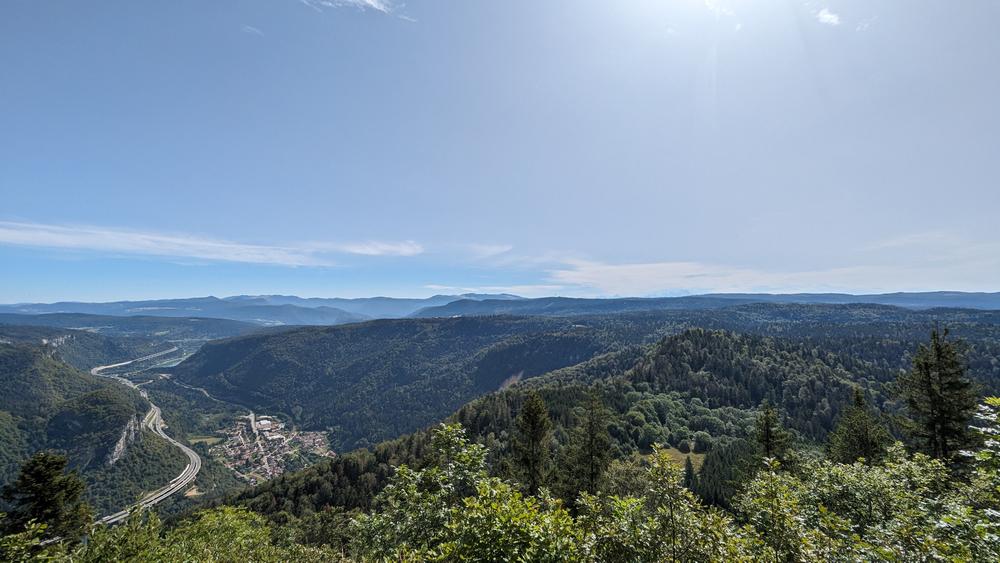
Mount Planachat can be reached via the Planachat road from the center of Cormaranche-en-Bugey, followed by a 250-meter trail. Hikers can take the “Belvédère de Planachat” walking route, a 7 km loop starting from the church.
Categories
- Viewpoint
Welcoming of pets
- Pets accepted
Openings
- JEUDI
- LUNDI
- MARDI
- SAMEDI
- DIMANCHE
- MERCREDI
- VENDREDI
Services and comforts
- Pets welcome
Equipments
- Picnic area
- Parking nearby
- Orientation board
Accueil des personnes en situation de handicap
- Tourisme adapté : Aucune valeur
- Nombre de pers. pouvant être accueillis en fauteuil roulant : Aucune valeur
- Descriptif handicap mental : Aucune valeur
- Descriptif handicap moteur : Aucune valeur
- Descriptif handicap visuel : Aucune valeur
- Descriptif handicap auditif : Aucune valeur
- Marque tourisme et Handicap : Aucune valeur
Suggestions
-
 Leyssard Patrimoines naturelMount Balvay
 -
 Nantua Patrimoines naturelPanorama des Monts d’Ain
 -
Dortan Patrimoines naturelLa Pierre qui vire