- Ajouter aux favoris
Description
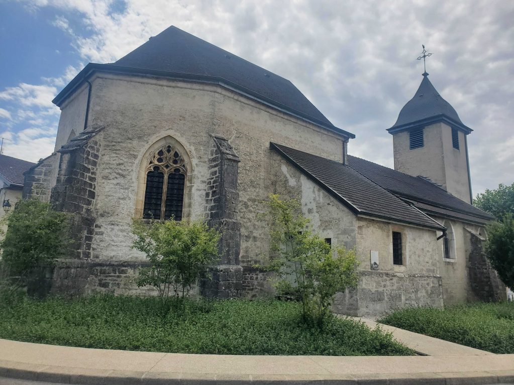
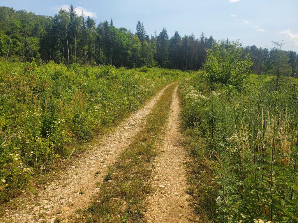
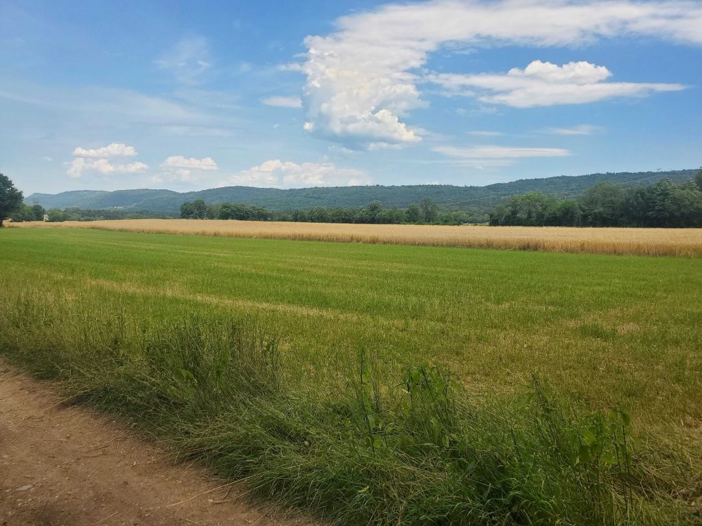
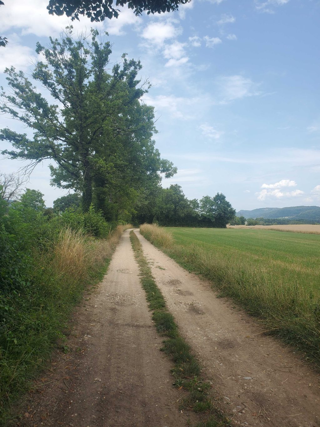
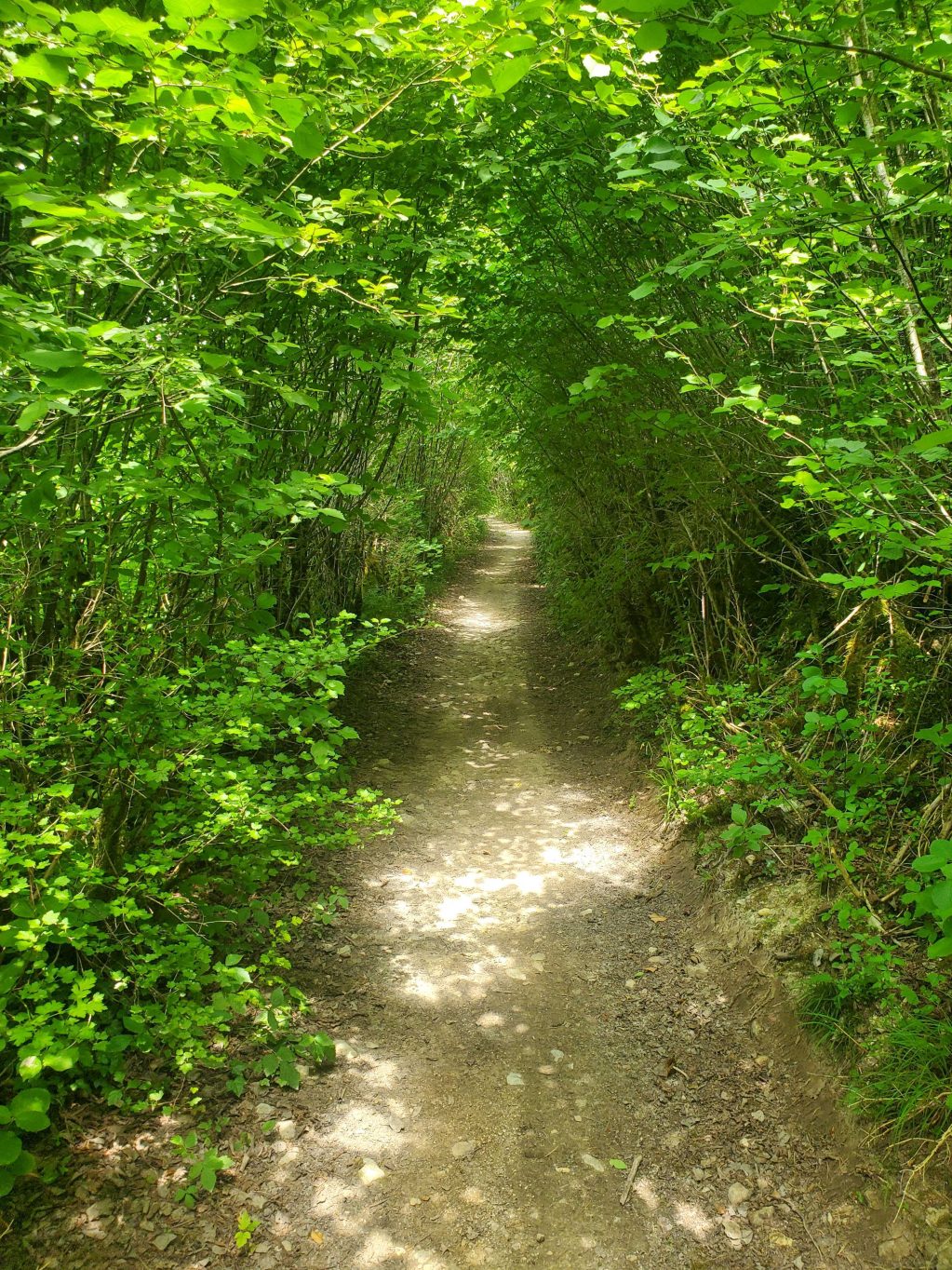
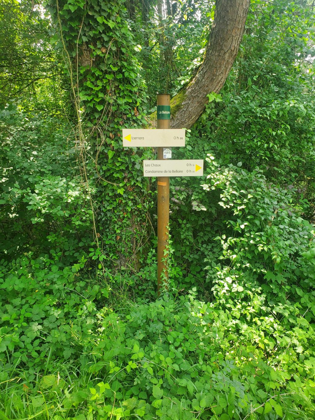
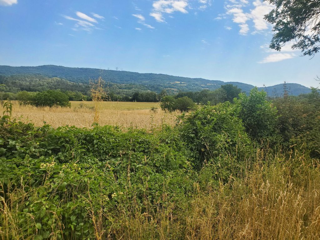
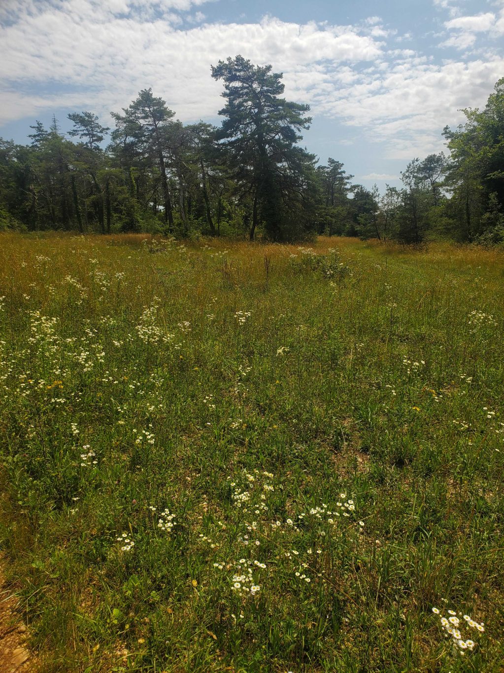
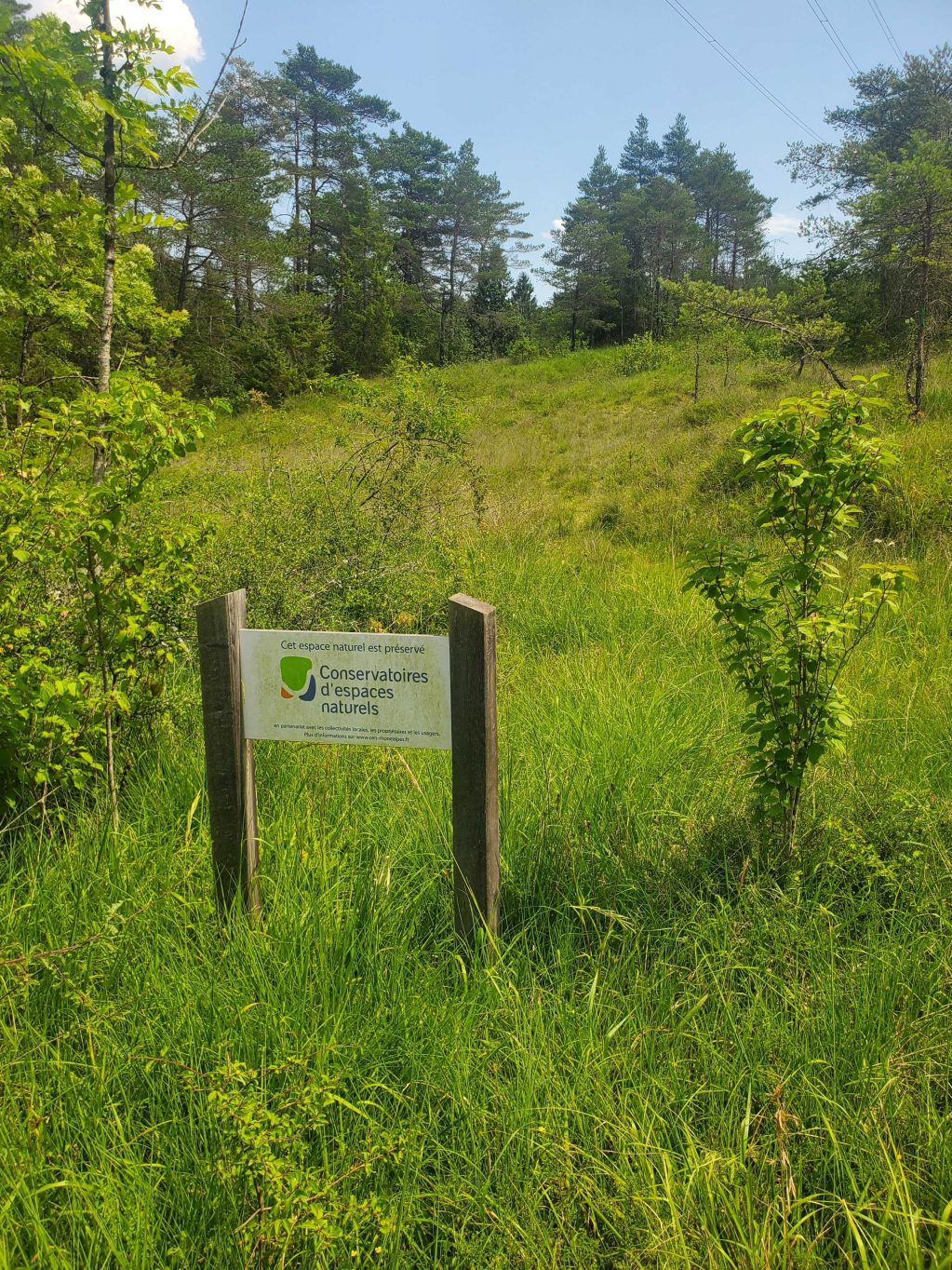
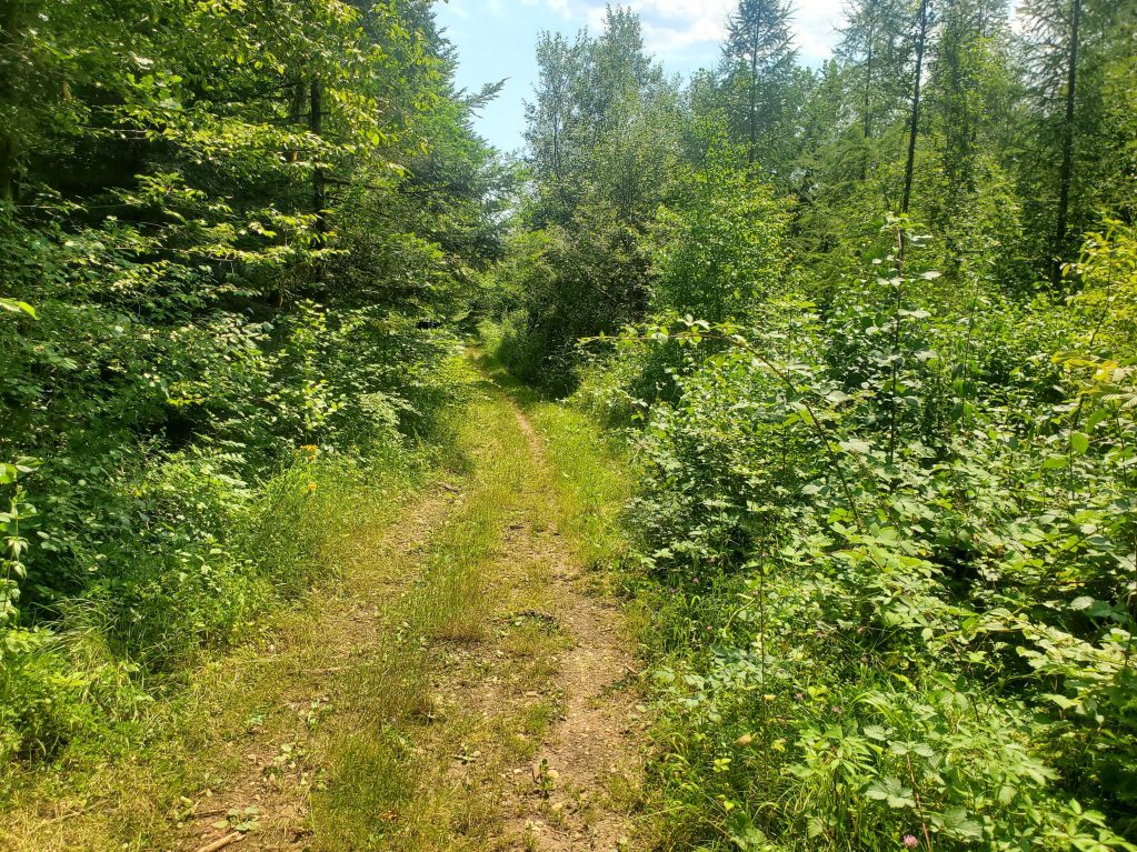
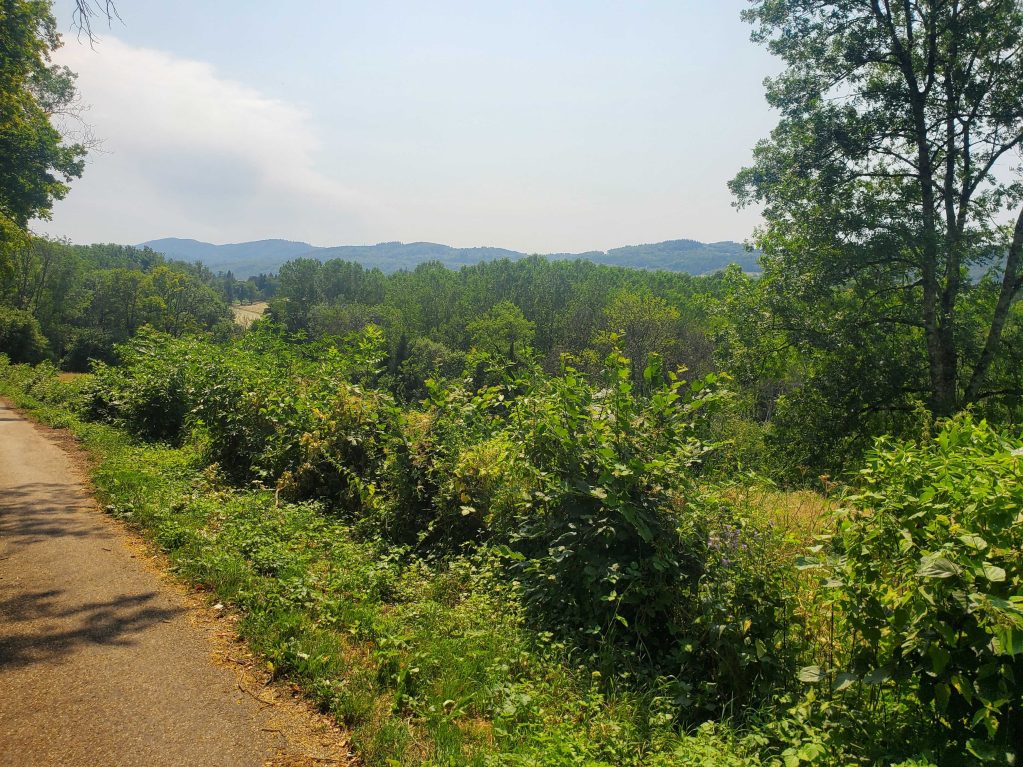
This hiking path is marked out in yellow. The starting point is on the Izernore church's square. Next, it runs into the forest, near to the lake of Samognat, it crosses Condamine and Voërle.
In Izernore, a quick return to the Gallo-roman temple is advisable.
Details
- Distance: 9km
- Duration: 2h 30 min
- Positive elevation gain: m160
Welcoming of pets
- Non communiqué
Openings
- JEUDI
- LUNDI
- MARDI
- SAMEDI
- DIMANCHE
- MERCREDI
- VENDREDI
Réservation
Services and comforts
Activities
- Hiking itinerary
- Pedestrian sports
Accueil des personnes en situation de handicap
- Tourisme adapté : Aucune valeur
- Nombre de pers. pouvant être accueillis en fauteuil roulant : Aucune valeur
- Descriptif handicap mental : Aucune valeur
- Descriptif handicap moteur : Aucune valeur
- Descriptif handicap visuel : Aucune valeur
- Descriptif handicap auditif : Aucune valeur
- Marque tourisme et Handicap : Aucune valeur
Suggestions
-
 Valromey-sur-Séran ÉquipementsThe path of the stars
 -
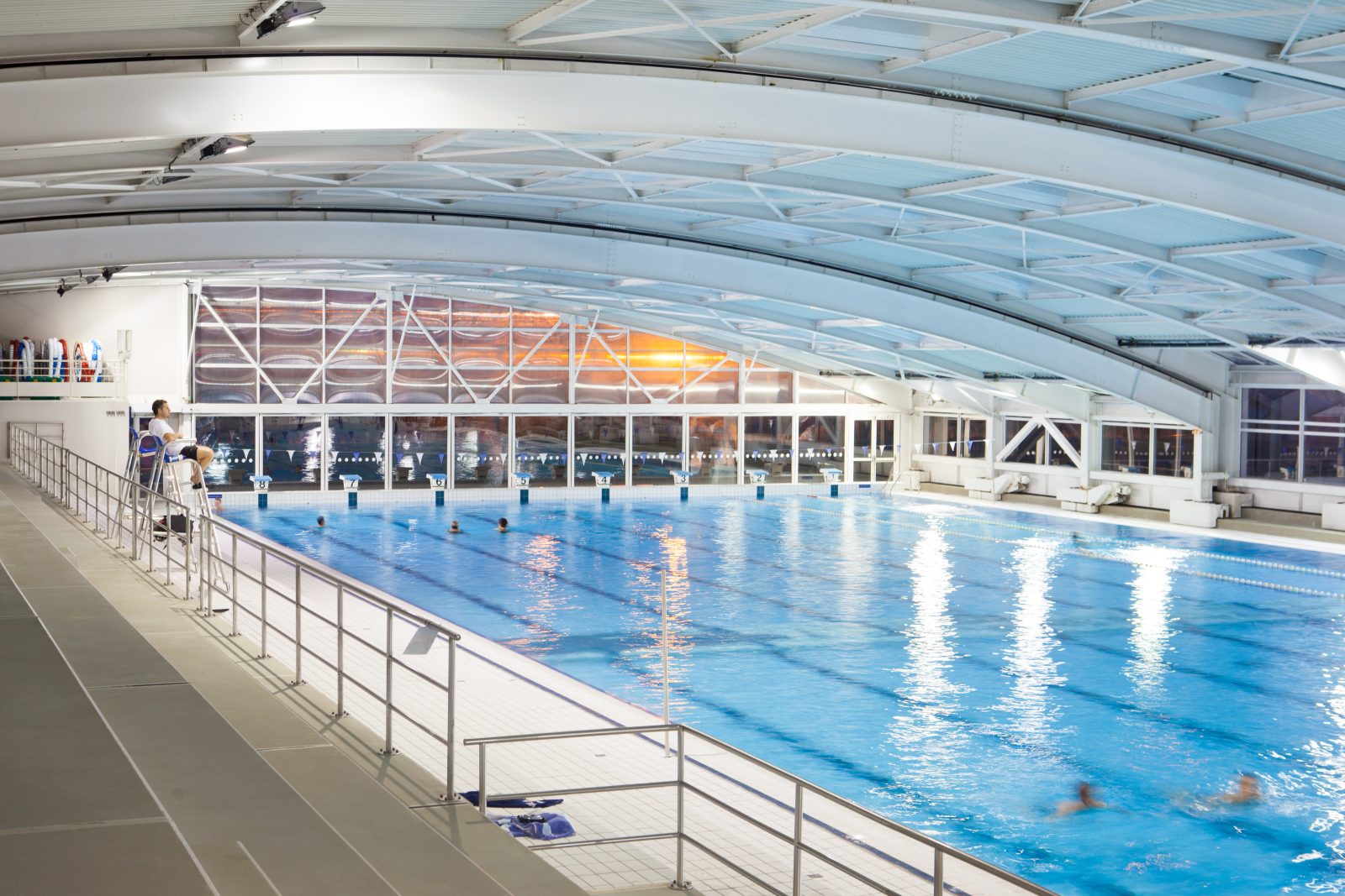 Oyonnax ÉquipementsAquatic Center
 -
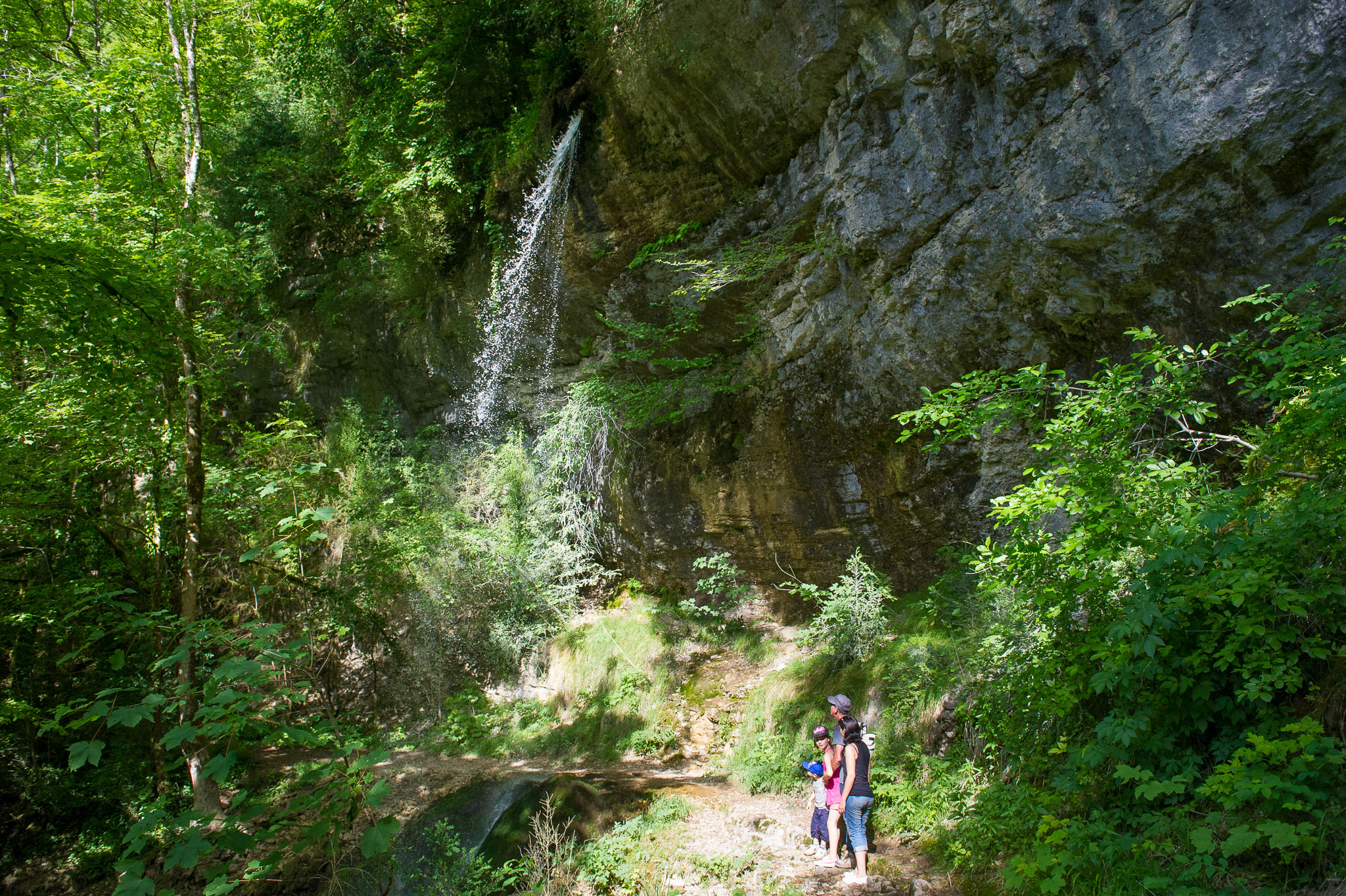 Matafelon-Granges ÉquipementsPisse-Vache Hiking Path